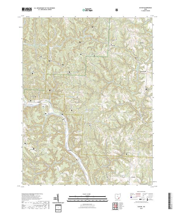
2023 Map of Cutler
USGS Topo · Published 2023About this map
Wayne National Forest anchors the western portion of this terrain where the Athens and Washington county lines meet. The landscape is defined by the winding course of the Hocking River in the southwest and a dense network of smaller drainages including Gilbert Run and the West Branch Little Hocking River. This rural area is characterized by scattered settlements such as Cutler, Decaturville, and Frost, connected by historic corridors like Federal Rd. For genealogists, the map is an exceptional resource, documenting dozens of family-named burial sites including the Timothy Jones Cem, Boyles Cem, and Sawyer Cem. The distribution of these cemeteries alongside landmarks like Mount Liberty Chapel Cem suggests a long-standing pattern of family-centered land ownership in the hills of southeast Ohio.
Find a feature on this map
86 named features on this map. Tap any name to fly to it.
Don’t see what you’re looking for? This feature index may not catch every label — zoom into the map to look around manually.
Map Details
Editions of this 2023 Cutler Map
This is the sole edition of this map. No revisions or reprints were ever made.
Other maps of this area

1902 · Parkersburg
USGS Topo · 1:62,500

1904 · Parkersburg
USGS Topo · 1:62,500

1904 · Chesterhill
USGS Topo · 1:62,500

1906 · Belleville
USGS Topo · 1:62,500

1906 · Chesterhill
USGS Topo · 1:62,500

1907 · Keno
USGS Topo · 1:62,500

1924 · Belleville
USGS Topo · 1:62,500

1926 · Belleville
USGS Topo · 1:62,500

1949 · Clarksburg
USGS Topo · 1:250,000

1956 · Clarksburg
USGS Topo · 1:250,000