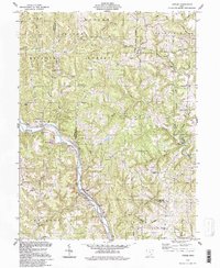
1994 Map of Cutler
USGS Topo · Published 1998About this map
Wayne National Forest dominates much of this Washington County landscape, where the Hocking River carves a deep arc through the terrain. The map records a rural network of small settlements and family-named landmarks established during the 19th-century expansion into southeastern Ohio. Genealogists will find a high density of rural burial grounds, including Sawyer Cem, Miller Cem, and the Beebe Cem near the riverbanks.
Find a feature on this map
65 named features on this map. Tap any name to fly to it.
Don’t see what you’re looking for? This feature index may not catch every label — zoom into the map to look around manually.
Map Details
Editions of this 1994 Cutler Map
This is the sole edition of this map. No revisions or reprints were ever made.
Other maps of this area
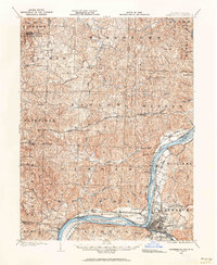
1902 · Parkersburg
USGS Topo · 1:62,500
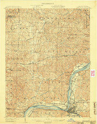
1904 · Parkersburg
USGS Topo · 1:62,500

1904 · Chesterhill
USGS Topo · 1:62,500

1906 · Belleville
USGS Topo · 1:62,500
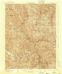
1906 · Chesterhill
USGS Topo · 1:62,500

1907 · Keno
USGS Topo · 1:62,500
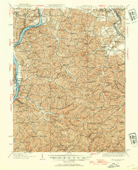
1924 · Belleville
USGS Topo · 1:62,500
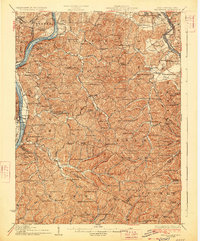
1926 · Belleville
USGS Topo · 1:62,500

1949 · Clarksburg
USGS Topo · 1:250,000

1956 · Clarksburg
USGS Topo · 1:250,000