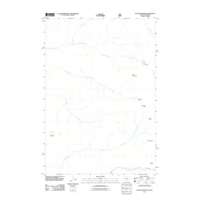
2011 Map of Cutoff Mountain
USGS Topo · Published 2011About this map
Cutoff Mountain and its surrounding peaks define this high-altitude landscape near the Montana-Wyoming border in the early 21st century. The map centers on a series of drainage basins, with the headwaters of the Stillwater River and Soda Butte Creek flowing from the slopes of Mount Abundance and Wolverine Peak. This area serves as a critical hydrological junction, where Lake Abundance Creek and Wolverine Creek carve paths through the mountain passes. The presence of the Northeast Entrance in the southeastern corner suggests this quadrangle's role as a gateway to the broader protected wilderness, marking a point of transition between the high ridges and the road networks that follow the river valleys below. Topographical highlights include Wolverine Pass and Sunset Peak, illustrating the complex terrain of the Absaroka Range.
Find a feature on this map
15 named features on this map. Tap any name to fly to it.
Don’t see what you’re looking for? This feature index may not catch every label — zoom into the map to look around manually.
Map Details
Editions of this 2011 Cutoff Mountain Map
This is the sole edition of this map. No revisions or reprints were ever made.
Other maps of this area

1886 · Canyon
USGS Topo · 1:125,000

1891 · Livingston
USGS Topo · 1:250,000

1893 · Livingston
USGS Topo · 1:250,000

1895 · Canyon
USGS Topo · 1:125,000

1896 · Canyon
USGS Topo · 1:125,000

1896 · Crandall Creek
USGS Topo · 1:125,000

1898 · Granite Mountain District
USGS Topo · 1:125,000

1899 · Crandall
USGS Topo · 1:125,000

1901 · Canyon
USGS Topo · 1:125,000

1907 · Canyon
USGS Topo · 1:125,000