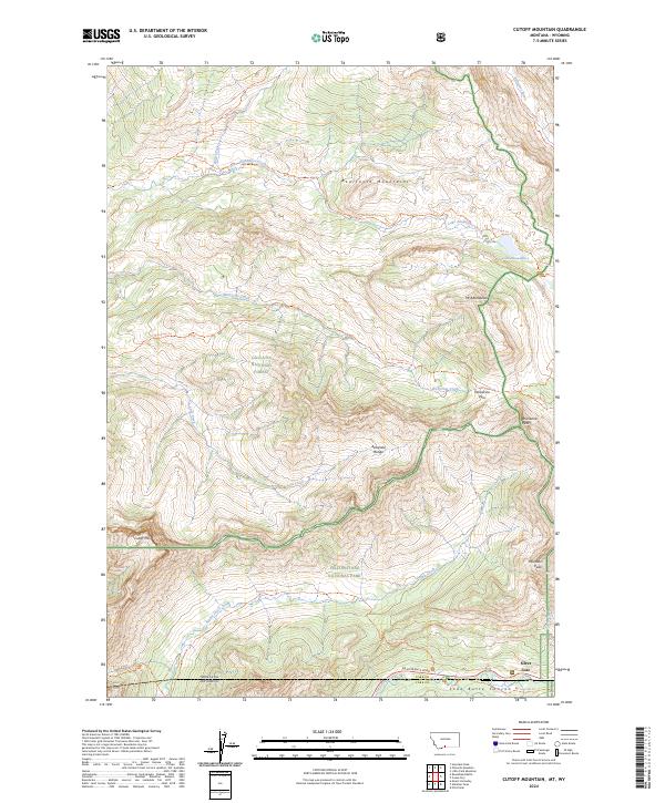
2024 Map of Cutoff Mountain
USGS Topo · Published 2024About this map
Yellowstone National Park and the Absaroka-Beartooth Wilderness meet at the Montana-Wyoming border, where high-alpine terrain dominates the landscape north of the NE Entrance Road. The small settlement of Silver Gate serves as a gateway to this mountain corridor, situated in Soda Butte Canyon near the state line. The map highlights a network of remote trails, including the Pebble Creek Trl and Lake Creek Trl, which navigate the complex ridges of the Beartooth Mountains and Absaroka Range. A significant hydrologic divide is clear, with waters feeding the Stillwater River to the north and Soda Butte Creek to the south. Distinctive peaks such as Cutoff Mtn, Meridian Peak, and Mt Abundance anchor the topography, illustrating the high-elevation environments managed by the Gallatin National Forest.
Find a feature on this map
56 named features on this map. Tap any name to fly to it.
Don’t see what you’re looking for? This feature index may not catch every label — zoom into the map to look around manually.
Map Details
Editions of this 2024 Cutoff Mountain Map
This is the sole edition of this map. No revisions or reprints were ever made.
Other maps of this area

1886 · Canyon
USGS Topo · 1:125,000

1891 · Livingston
USGS Topo · 1:250,000

1893 · Livingston
USGS Topo · 1:250,000

1895 · Canyon
USGS Topo · 1:125,000

1896 · Canyon
USGS Topo · 1:125,000

1896 · Crandall Creek
USGS Topo · 1:125,000

1898 · Granite Mountain District
USGS Topo · 1:125,000

1899 · Crandall
USGS Topo · 1:125,000

1901 · Canyon
USGS Topo · 1:125,000

1907 · Canyon
USGS Topo · 1:125,000