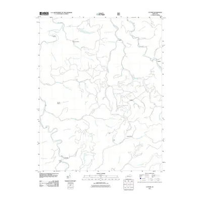
2011 Map of Cutshin
USGS Topo · Published 2011About this map
Hardy Bottom Cemetery and the Middle Fork Kentucky River anchor the northwestern reaches of this Leslie County landscape, where deep hollows and narrow creek bottoms dictate the pattern of settlement. Smaller communities like Cinda, Cutshin, and Chappell are situated along the primary drainage routes, often centered around local services like the Chapel Post Office. The topography is defined by an intricate network of waterways including Cutshin Creek and Wolf Creek, which are fed by dozens of smaller branches such as Poundmill Branch and Jerrys Branch.
Find a feature on this map
70 named features on this map. Tap any name to fly to it.
Don’t see what you’re looking for? This feature index may not catch every label — zoom into the map to look around manually.
Map Details
Editions of this 2011 Cutshin Map
This is the sole edition of this map. No revisions or reprints were ever made.
Other maps of this area

1887 · Jonesville
USGS Topo · 1:125,000

1891 · Hazard
USGS Topo · 1:125,000

1891 · Jonesville
USGS Topo · 1:125,000

1903 · Harlan
USGS Topo · 1:48,000

1916 · Cornettsville
USGS Topo · 1:62,500

1916 · Harlan
USGS Topo · 1:48,000

1916 · Nolansburg
USGS Topo · 1:48,000

1916 · Hyden
USGS Topo · 1:48,000

1919 · Nolansburg
USGS Topo · 1:62,500

1919 · Hyden
USGS Topo · 1:62,500