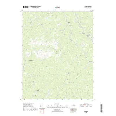
2019 Map of Cutshin
USGS Topo · Published 2019About this map
Cutshin Creek and its many winding tributaries define the deeply dissected landscape of Leslie County in the late 2010s. The settlement pattern follows the narrow valley floors, where communities like Cinda, Causey, and the namesake Cutshin are linked by the winding paths of State Hwy 1427 and State Hwy 2009 Greasy Creek Rd. In the northwest, the Middle Fork Kentucky River cuts a prominent path near Hardy Bottom, home to the Hardy Bottom Cem. The map reveals the intricate drainage network of the Cumberland Plateau, where named features like Raccoon Hollow and Motts Hollow represent the traditional Appalachian hollow-based geography. Local history is etched into the names of smaller runs, such as Schoolhouse Br and Poundmill Br, which suggest the historic locations of essential community infrastructure in this part of eastern Kentucky.
Find a feature on this map
72 named features on this map. Tap any name to fly to it.
Don’t see what you’re looking for? This feature index may not catch every label — zoom into the map to look around manually.
Map Details
Editions of this 2019 Cutshin Map
This is the sole edition of this map. No revisions or reprints were ever made.
Other maps of this area

1887 · Jonesville
USGS Topo · 1:125,000

1891 · Hazard
USGS Topo · 1:125,000

1891 · Jonesville
USGS Topo · 1:125,000

1903 · Harlan
USGS Topo · 1:48,000

1916 · Cornettsville
USGS Topo · 1:62,500

1916 · Harlan
USGS Topo · 1:48,000

1916 · Nolansburg
USGS Topo · 1:48,000

1916 · Hyden
USGS Topo · 1:48,000

1919 · Nolansburg
USGS Topo · 1:62,500

1919 · Hyden
USGS Topo · 1:62,500