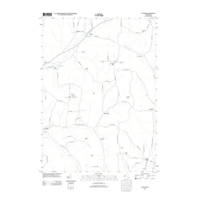
2013 Map of Cuyler
USGS Topo · Published 2013About this map
Cuyler and the surrounding rural landscape in Madison County are defined by the narrow valley of the E Br Tioughnioga River and several prominent hills that dominate the southern Tier. The village of Cuyler sits near the confluence of Tioughnioga Cr and Tioughnioga River, acting as a hub for local routes like Lincklaen Rd and Richmond Hill Rd. Small settlements such as New Boston and Union Valley are scattered throughout the highlands, often marked by local cemeteries like Potter Hill Cem and Union Valley Cem. This 2013 survey reveals a largely agricultural and recreational character, featuring the Forest Lake Campground and the private Morin Airport. Landforms like Bull Hill and Seacord Hill provide a high-relief backdrop to the winding watercourses of Mud Cr and Cheningo Cr, illustrating the enduring upland settlement patterns of central New York.
Find a feature on this map
78 named features on this map. Tap any name to fly to it.
Don’t see what you’re looking for? This feature index may not catch every label — zoom into the map to look around manually.
Map Details
Editions of this 2013 Cuyler Map
This is the sole edition of this map. No revisions or reprints were ever made.
Other maps of this area

1897 · Cazenovia
USGS Topo · 1:62,500

1899 · Cazenovia
USGS Topo · 1:62,500

1900 · Tully
USGS Topo · 1:62,500

1903 · Cortland
USGS Topo · 1:62,500

1904 · Pitcher
USGS Topo · 1:62,500
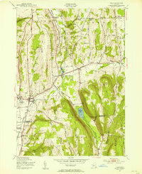
1943 · Tully
USGS Topo · 1:24,000

1943 · De Ruyter
USGS Topo · 1:24,000

1943 · South Ostelic
USGS Topo · 1:24,000

1943 · Cincinnatus
USGS Topo · 1:24,000
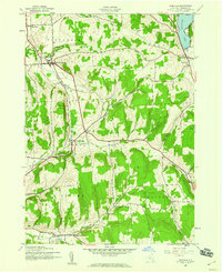
1943 · Erieville
USGS Topo · 1:24,000