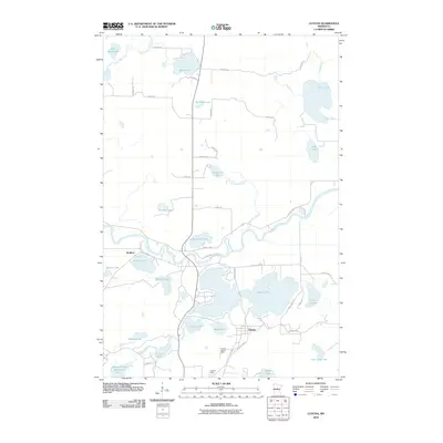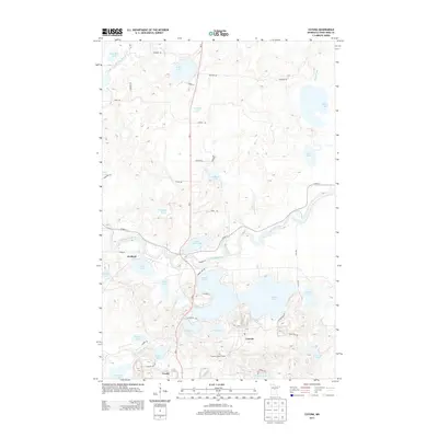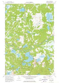
1973 Map of Cuyuna
USGS Topo · Published 1975About this map
The Mississippi River winds through the heart of the Cuyuna Iron Range, defining a landscape shaped by both glacial hydrology and industrial extraction. Centered on the community of Cuyuna, this mid-1970s survey illustrates a region where mining operations and natural water bodies are deeply integrated. The presence of the Yawkey Mine and other unnamed mines near the shore of Rabbit Lake reflects the area's legacy of iron ore production. The Cuyuna Lookout Tower stands as a sentinel over the Crow Wing State Forest, while the tracks of the Burlington Northern railroad and an Old Railroad Grade trace the transport routes that once carried ore to the Great Lakes.
Find a feature on this map
48 named features on this map. Tap any name to fly to it.
Don’t see what you’re looking for? This feature index may not catch every label — zoom into the map to look around manually.
Map Details
Editions of this 1973 Cuyuna Map
This is the sole edition of this map. No revisions or reprints were ever made.
Historical Maps of Crosby Through Time
8 maps found