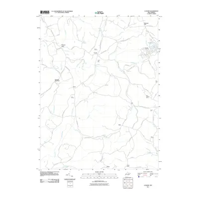
2011 Map of Cuzzart
USGS Topo · Published 2011About this map
Muddy Creek and its many tributaries, including Sugarcomb Run and the Cuzzart Cranesville Branch, define the rural landscape of this Preston County region. The area is characterized by small, dispersed settlements like Lenox, Afton, and the historical site of Guseman. Local genealogy is well-supported by the presence of the Parnell Cemetery, Lenox Cemetery, and Miller Cemetery, while the civic life of the era is marked by the Cuzzart Post Office and White Oak School. Industrial history is represented by the Reckart Mill on Franklin Run and the infrastructure of the Big Bear Lake Dam. A network of country roads, such as Brandonville Pike and Centenary Rd, connects these highland communities across the varied terrain of Pine Swamp Knob and Gregg Knob.
Find a feature on this map
84 named features on this map. Tap any name to fly to it.
Don’t see what you’re looking for? This feature index may not catch every label — zoom into the map to look around manually.
Map Details
Editions of this 2011 Cuzzart Map
This is the sole edition of this map. No revisions or reprints were ever made.
Other maps of this area

1886 · St. George
USGS Topo · 1:125,000

1891 · St. George
USGS Topo · 1:125,000

1895 · Piedmont
USGS Topo · 1:125,000

1899 · Oakland
USGS Topo · 1:62,500

1900 · Accident
USGS Topo · 1:62,500

1900 · Oakland
USGS Topo · 1:62,500

1904 · Bruceton
USGS Topo · 1:62,500

1907 · Kingwood
USGS Topo · 1:62,500

1925 · Kingwood
USGS Topo · 1:62,500

1926 · Bruceton
USGS Topo · 1:62,500