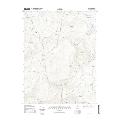
2014 Map of Cuzzart
USGS Topo · Published 2014About this map
Cuzzart and the surrounding rural communities of Lenox and Morgans Glade anchor this portion of Preston County, where the high-elevation landscape is defined by the Briery Mountains and numerous runs feeding into Muddy Cr. The 2014 survey captures a network of family-named landmarks and historical burial sites, including the Parnell Cem near Cuzzart and the Miller Cem further south toward Afton.
Find a feature on this map
108 named features on this map. Tap any name to fly to it.
Don’t see what you’re looking for? This feature index may not catch every label — zoom into the map to look around manually.
Map Details
Editions of this 2014 Cuzzart Map
This is the sole edition of this map. No revisions or reprints were ever made.
Other maps of this area

1886 · St. George
USGS Topo · 1:125,000

1891 · St. George
USGS Topo · 1:125,000

1895 · Piedmont
USGS Topo · 1:125,000

1899 · Oakland
USGS Topo · 1:62,500

1900 · Accident
USGS Topo · 1:62,500
1900 · Oakland
USGS Topo · 1:62,500

1904 · Bruceton
USGS Topo · 1:62,500

1907 · Kingwood
USGS Topo · 1:62,500
1925 · Kingwood
USGS Topo · 1:62,500

1926 · Bruceton
USGS Topo · 1:62,500