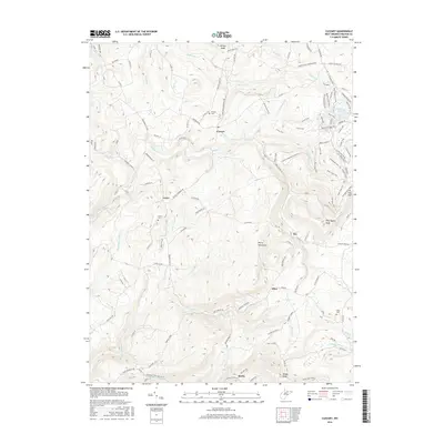
2016 Map of Cuzzart
USGS Topo · Published 2016About this map
Briery Mountains dominate the central landscape of this Preston County survey, defining the rugged geography between the settlements of Cuzzart and Afton. The terrain is deeply incised by a dense network of watercourses, including Muddy Cr and Beaver Cr, which have historically dictated the placement of mountain roads like the Brandonville Pike. Genealogists will find significant value in the distribution of family-named landmarks and resting places, such as Parnell Cem near Cuzzart and the Miller Cem further south. The map documents a transition from traditional Appalachian crossroad communities like Lenox and Orr toward more modern recreational footprints, evidenced by the extensive trail system surrounding Big Bear Lake. This 2016 data preserves the locations of vital local institutions, from the White Oak School to small high-altitude settlements like Dority, established among the peaks of the West Virginia highlands.
Find a feature on this map
126 named features on this map. Tap any name to fly to it.
Don’t see what you’re looking for? This feature index may not catch every label — zoom into the map to look around manually.
Map Details
Editions of this 2016 Cuzzart Map
This is the sole edition of this map. No revisions or reprints were ever made.
Other maps of this area

1886 · St. George
USGS Topo · 1:125,000

1891 · St. George
USGS Topo · 1:125,000

1895 · Piedmont
USGS Topo · 1:125,000

1899 · Oakland
USGS Topo · 1:62,500

1900 · Accident
USGS Topo · 1:62,500

1900 · Oakland
USGS Topo · 1:62,500

1904 · Bruceton
USGS Topo · 1:62,500

1907 · Kingwood
USGS Topo · 1:62,500

1925 · Kingwood
USGS Topo · 1:62,500

1926 · Bruceton
USGS Topo · 1:62,500