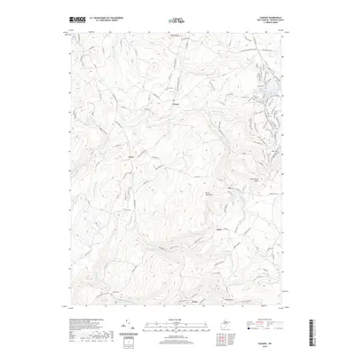
2019 Map of Cuzzart
USGS Topo · Published 2019About this map
Cuzzart and the high ridges of Preston County dominate this topographic study, where rural mountain life is defined by deep hollows and narrow valley roads. The landscape is marked by small upland settlements like Lenox and Afton, connected by a network of historic routes including Brandon Pike and Centenary Rd. Notable for genealogists are the family-named landmarks and resting places such as Parnell Cem and Lenox Cem, which sit alongside indicators of early educational history like Victory School Ln.
Find a feature on this map
138 named features on this map. Tap any name to fly to it.
Don’t see what you’re looking for? This feature index may not catch every label — zoom into the map to look around manually.
Map Details
Editions of this 2019 Cuzzart Map
This is the sole edition of this map. No revisions or reprints were ever made.
Other maps of this area

1886 · St. George
USGS Topo · 1:125,000

1891 · St. George
USGS Topo · 1:125,000

1895 · Piedmont
USGS Topo · 1:125,000

1899 · Oakland
USGS Topo · 1:62,500

1900 · Accident
USGS Topo · 1:62,500

1900 · Oakland
USGS Topo · 1:62,500

1904 · Bruceton
USGS Topo · 1:62,500

1907 · Kingwood
USGS Topo · 1:62,500

1925 · Kingwood
USGS Topo · 1:62,500

1926 · Bruceton
USGS Topo · 1:62,500