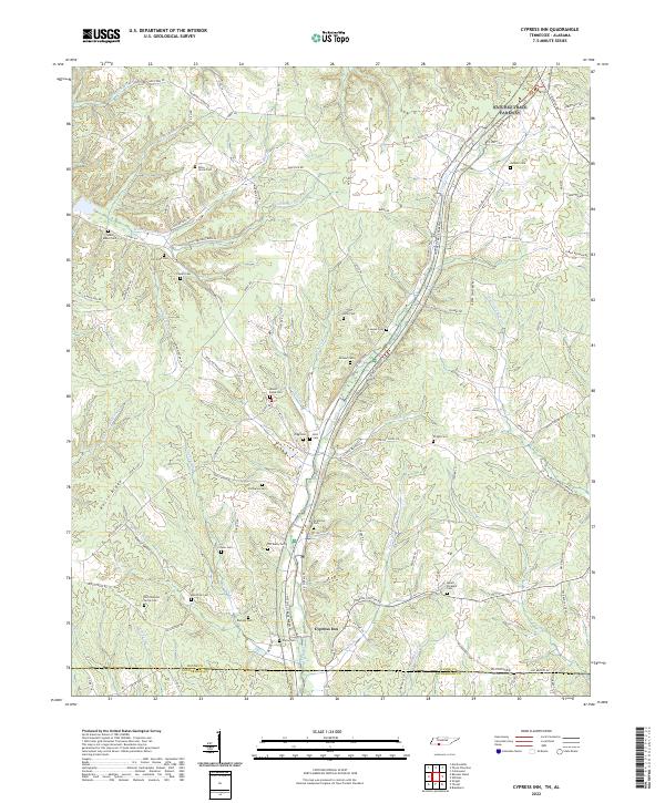
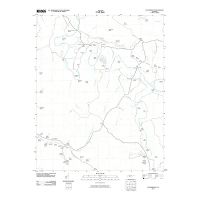
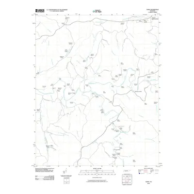
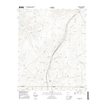
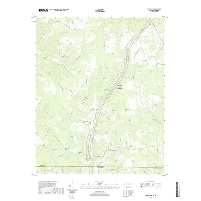
2022 Map of Cypress Inn
USGS Topo · Published 2022About this map
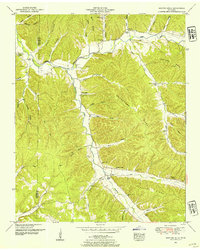
Cypress Inn serves as the focal point of this borderland landscape where the Tennessee-Alabama state line meets the southern reaches of Wayne County. The area is defined by a dense network of family-named cemeteries and rural landmarks that speak to generations of local settlement, including Piney Grove Cem, Mount Pleasant Cem, and Old Chestnut Grove Cem. The modern Natchez Trace Parkway cuts through the terrain, paralleling the historic routes that once linked these isolated homesteads and ridges. Waterways like Weatherford Cr and Middle Cypress Cr carve through the ridges, including Cromwell Ridge and Bevis Ridge, creating a geography where roads frequently follow the high ground or track along narrow creek bottoms. The high concentration of burial grounds, such as McAllister Cem and Old Darby Cem, provides a significant resource for tracing family history in this corner of the state.
Find a feature on this map
96 named features on this map. Tap any name to fly to it.
Don’t see what you’re looking for? This feature index may not catch every label — zoom into the map to look around manually.
Map Details
Editions of this 2022 Cypress Inn Map
This is the sole edition of this map. No revisions or reprints were ever made.
Historical Maps of Cypress Inn Through Time
63 maps found
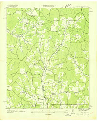
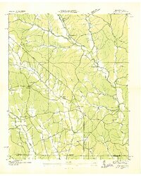
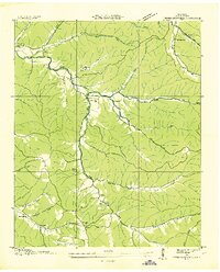
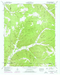
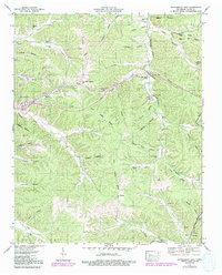
1936 Cypress Inn
Wayne County, TN
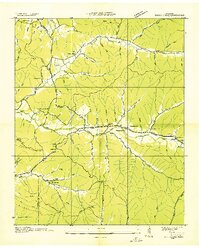
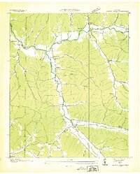
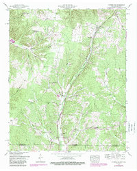
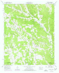
1936 Eagle Creek
Wayne County, TN
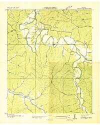
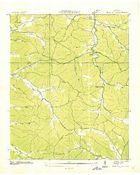
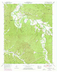
1936 Leatherwood
Wayne County, TN
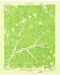
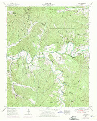
1936 Light
Wayne County, TN
1936 Martins Mills
Wayne County, TN
1936 Negro Hollow
Wayne County, TN
1936 Ransom Stand
Wayne County, TN
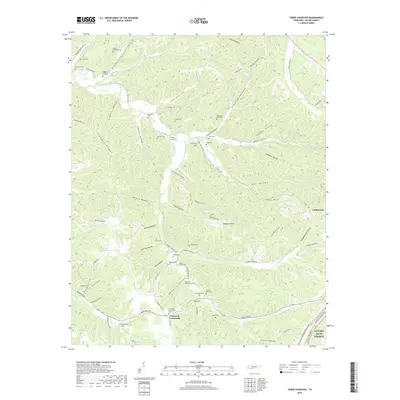
1936 Three Churches
Wayne County, TN
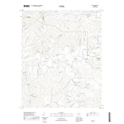
1936 Topsy
Wayne County, TN
1949 Eagle Creek
Wayne County, TN
1950 Martins Mills
Wayne County, TN
1950 Ransom Stand
Wayne County, TN
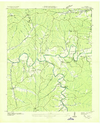
1951 Cypress Inn
Wayne County, TN
1951 Leatherwood
Wayne County, TN

1951 Three Churches
Wayne County, TN
1951 Topsy
Wayne County, TN
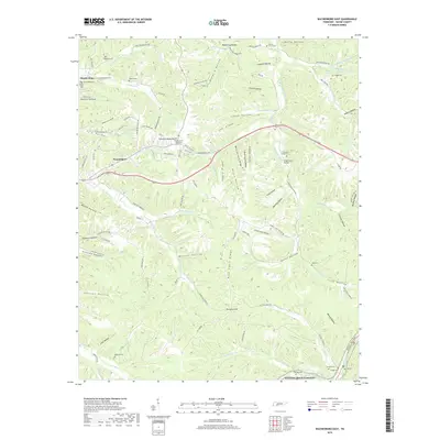
1951 Waynesboro East
Wayne County, TN
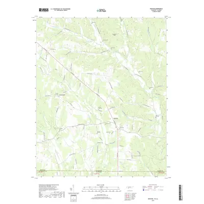
1951 Whitten
Wayne County, TN
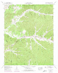
2010 Cypress Inn
Wayne County, TN
2010 Eagle Creek
Wayne County, TN
2010 Leatherwood
Wayne County, TN
2010 Martins Mills
Wayne County, TN
2010 Ransom Stand
Wayne County, TN
2010 Three Churches
Wayne County, TN
2010 Topsy
Wayne County, TN
2010 Waynesboro East
Wayne County, TN
2010 Whitten
Wayne County, TN

2013 Cypress Inn
Wayne County, TN

2013 Eagle Creek
Wayne County, TN
2013 Leatherwood
Wayne County, TN

2013 Martins Mills
Wayne County, TN

2013 Ransom Stand
Wayne County, TN
2013 Three Churches
Wayne County, TN
2013 Topsy
Wayne County, TN

2013 Waynesboro East
Wayne County, TN

2013 Whitten
Wayne County, TN
2016 Cypress Inn
Wayne County, TN

2016 Eagle Creek
Wayne County, TN

2016 Leatherwood
Wayne County, TN

2016 Martins Mills
Wayne County, TN
2016 Ransom Stand
Wayne County, TN

2016 Three Churches
Wayne County, TN
2016 Topsy
Wayne County, TN
2016 Waynesboro East
Wayne County, TN
2016 Whitten
Wayne County, TN
2019 Cypress Inn
Wayne County, TN

2019 Eagle Creek
Wayne County, TN

2019 Leatherwood
Wayne County, TN

2019 Martins Mills
Wayne County, TN

2019 Ransom Stand
Wayne County, TN
2019 Three Churches
Wayne County, TN
2019 Topsy
Wayne County, TN
2019 Waynesboro East
Wayne County, TN
2019 Whitten
Wayne County, TN
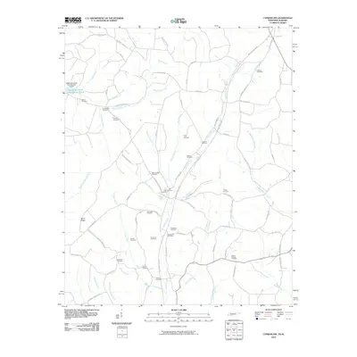
2022 Cypress Inn
Wayne County, TN
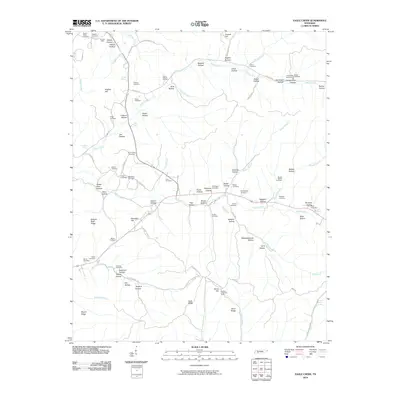
2022 Eagle Creek
Wayne County, TN
2022 Leatherwood
Wayne County, TN
2022 Martins Mills
Wayne County, TN
2022 Ransom Stand
Wayne County, TN

2022 Three Churches
Wayne County, TN
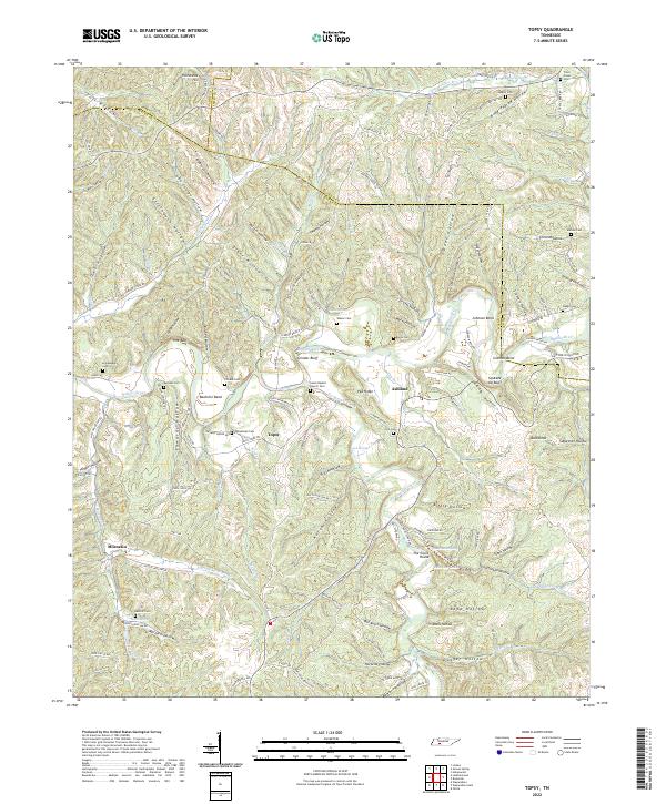
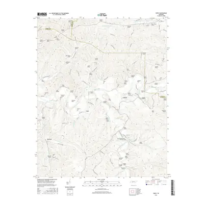
2022 Topsy
Wayne County, TN
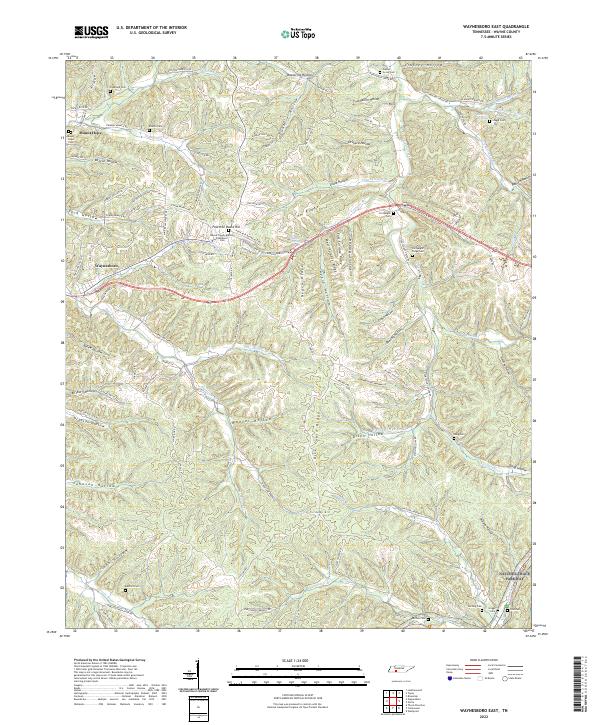
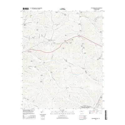
2022 Waynesboro East
Wayne County, TN
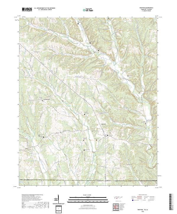
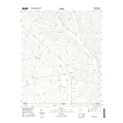
2022 Whitten
Wayne County, TN