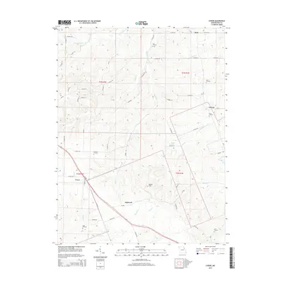
2014 Map of Cyrene
USGS Topo · Published 2014About this map
Cyrene and the surrounding rural townships of Pike County are defined by a network of creeks and small family cemeteries that speak to the long history of Missouri's agricultural heartland. The landscape is dominated by the prominent Buffalo Knob rising in the central terrain, while the drainage of Little Buffalo Cr and Calumet Cr shapes the valley floors. In this era, small unincorporated communities like Edgewood, Stark, and Calumet remain as vital geographic markers, often centered around family plots and local burial grounds.
Find a feature on this map
62 named features on this map. Tap any name to fly to it.
Don’t see what you’re looking for? This feature index may not catch every label — zoom into the map to look around manually.
Map Details
Editions of this 2014 Cyrene Map
This is the sole edition of this map. No revisions or reprints were ever made.
Other maps of this area

1890 · Louisiana
USGS Topo · 1:125,000

1930 · Nebo
USGS Topo · 1:62,500

1934 · Nebo
USGS Topo · 1:48,000

1934 · Elsberry
USGS Topo · 1:48,000

1937 · Silex
USGS Topo · 1:62,500

1937 · Bowling Green
USGS Topo · 1:62,500

1939 · Silex
USGS Topo · 1:48,000

1940 · Bowling Green
USGS Topo · 1:62,500

1942 · Nebo
USGS Topo · 1:62,500

1942 · Elsberry
USGS Topo · 1:62,500