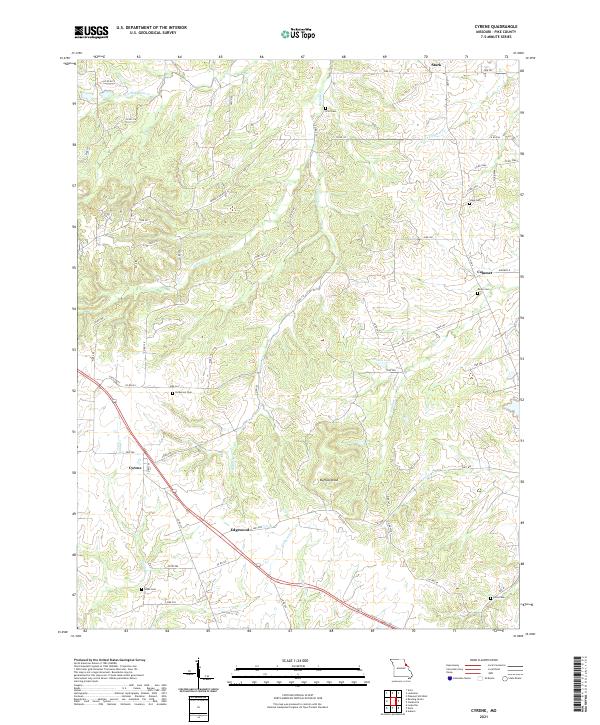
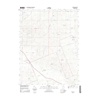
2021 Map of Cyrene
USGS Topo · Published 2021About this map
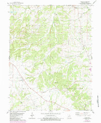
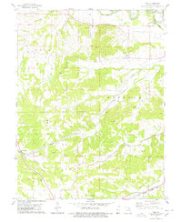
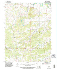
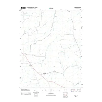
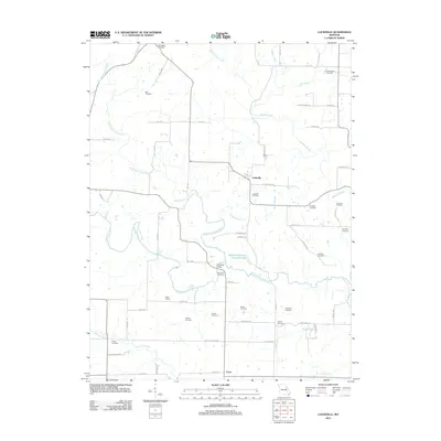
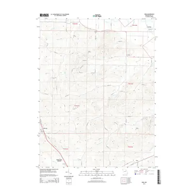
Cyrene and Edgewood anchor the southern reaches of this Pike County survey, where a network of rural routes like Mount Zion Rd connects small agricultural communities. The landscape is defined by the dendritic drainages of Buffalo Cr and Ramsey Cr, which carve through the terrain toward Buffalo Knob. This area is particularly notable for its scattered family and community burial grounds, including the Kritz Cem and Stark Cem, which serve as vital markers for local genealogical research. In the eastern portion, the settlement of Calumet sits near the headwaters of Calumet Cr, while Wilson Lake provides a rare contained water feature amidst the rolling hills. The road system, dominated by Pike County routes and State Hwy F, reveals a persistent settlement pattern that has changed little in its basic footprint over several decades.
Find a feature on this map
44 named features on this map. Tap any name to fly to it.
Don’t see what you’re looking for? This feature index may not catch every label — zoom into the map to look around manually.
Map Details
Editions of this 2021 Cyrene Map
This is the sole edition of this map. No revisions or reprints were ever made.
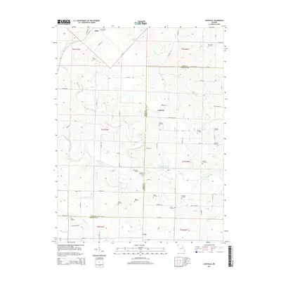
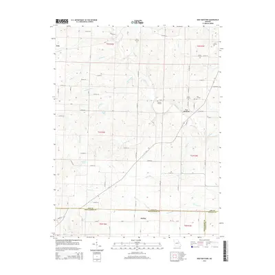
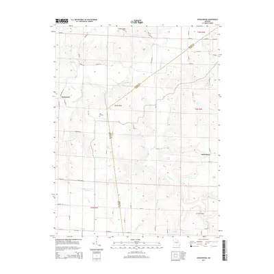
Historical Maps of Cyrene Through Time
26 maps found
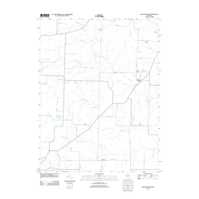
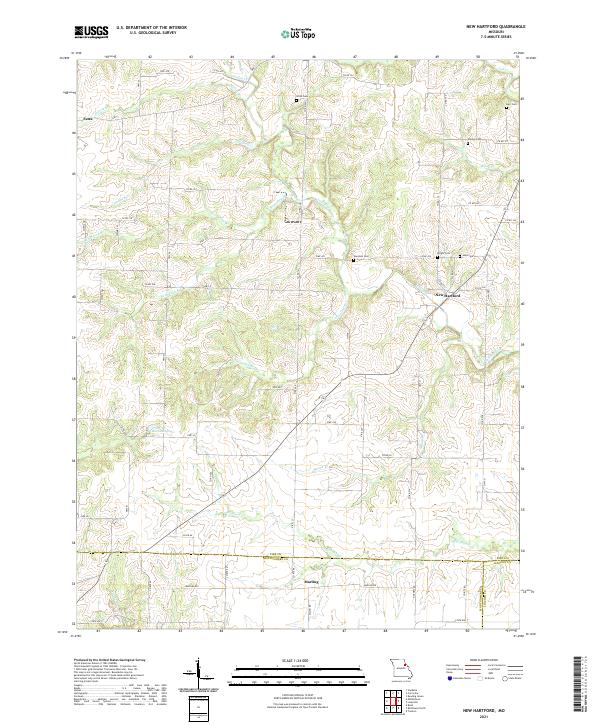
1973 New Hartford
Pike County, MO
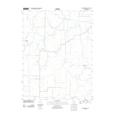
1973 Spencerburg
Pike County, MO
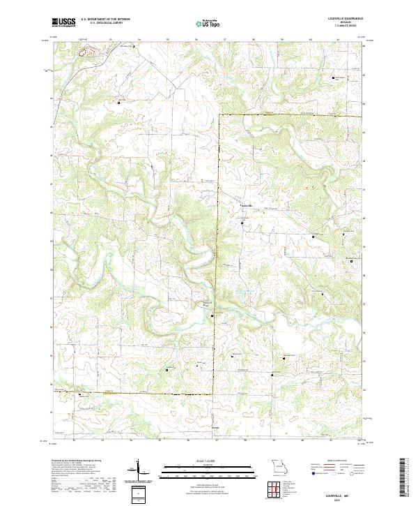
1975 Louisville
Pike County, MO
1978 Cyrene
Pike County, MO
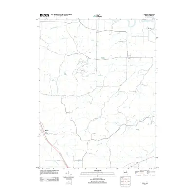
1978 Vera
Pike County, MO
1991 Vera
Pike County, MO
2012 Cyrene
Pike County, MO
2012 Louisville
Pike County, MO
2012 New Hartford
Pike County, MO
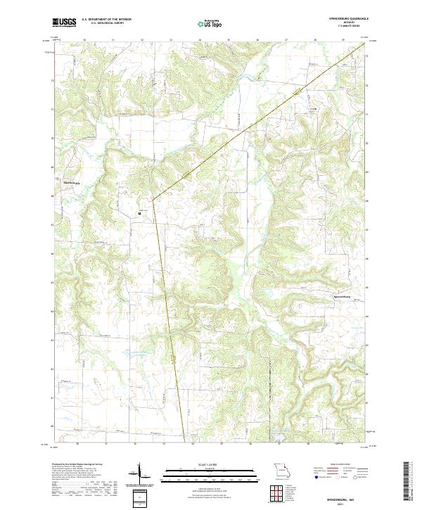
2012 Spencerburg
Pike County, MO
2012 Vera
Pike County, MO
2014 Cyrene
Pike County, MO
2014 Louisville
Pike County, MO
2014 New Hartford
Pike County, MO
2014 Spencerburg
Pike County, MO
2014 Vera
Pike County, MO
2017 Cyrene
Pike County, MO
2017 Louisville
Pike County, MO
2017 New Hartford
Pike County, MO
2017 Spencerburg
Pike County, MO
2017 Vera
Pike County, MO
2021 Cyrene
Pike County, MO
2021 Louisville
Pike County, MO
2021 New Hartford
Pike County, MO
2021 Spencerburg
Pike County, MO
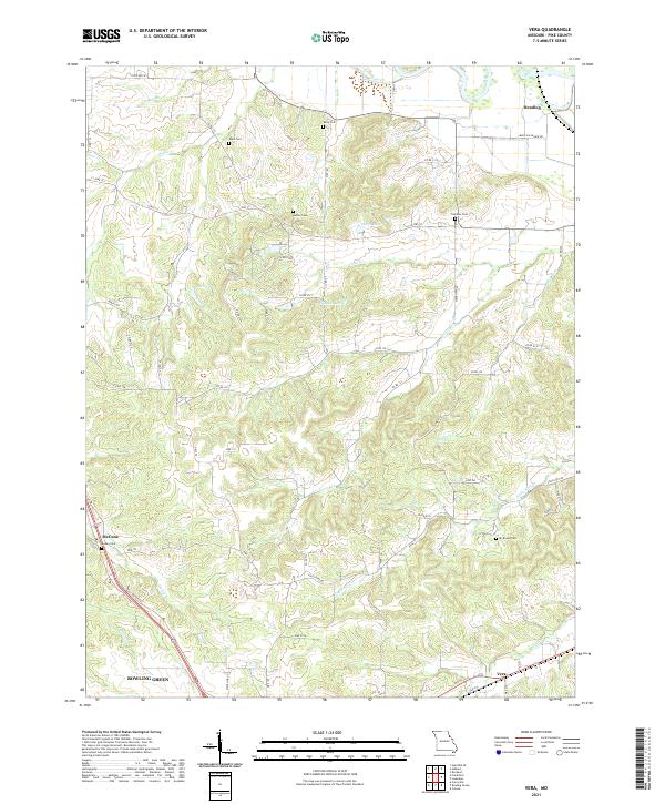
2021 Vera
Pike County, MO