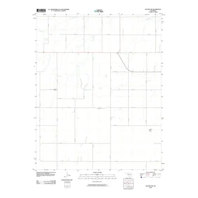
2009 Map of Dacoma SW
USGS Topo · Published 2009About this map
Highland Cemetery and the Logsdon Ranch Airport anchor this rural landscape in Woods County, Oklahoma. The terrain is defined by a grid of section line roads including N2430 Rd and E0270 Rd, which provide access to the dispersed farmsteads and open agricultural fields. Sand Creek meanders through the northern portion of the quadrangle, carving subtle drainage patterns into the prairie. The map shows a region shaped by modern aviation and traditional burial sites, with the airport located in the southeastern quadrant near N2450 Rd. This survey documents the intersection of rural infrastructure and family ranching operations in the early 21st century.
Find a feature on this map
22 named features on this map. Tap any name to fly to it.
Don’t see what you’re looking for? This feature index may not catch every label — zoom into the map to look around manually.
Map Details
Editions of this 2009 Dacoma SW Map
This is the sole edition of this map. No revisions or reprints were ever made.
Other maps of this area

1955 · Woodward
USGS Topo · 1:250,000

1958 · Woodward
USGS Topo · 1:250,000

1969 · Dacoma
USGS Topo · 1:24,000

1969 · Dacoma SW
USGS Topo · 1:24,000

1969 · Glass Mountains NW
USGS Topo · 1:24,000

1969 · Hopeton
USGS Topo · 1:24,000

1969 · Avard
USGS Topo · 1:24,000

1969 · Waynoka East
USGS Topo · 1:24,000

1969 · Glass Mountains NE
USGS Topo · 1:24,000

1969 · Togo
USGS Topo · 1:24,000