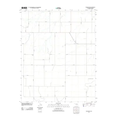
2012 Map of Dacoma SW
USGS Topo · Published 2012About this map
Sand Creek meanders through the northern section of this Woods County landscape, marking one of the primary natural drainage features in an area dominated by an orderly grid of section line roads. The rural character of the territory is defined by large agricultural tracts, with transportation provided by a network including E0270 Road and N2430 Road. Genealogists and local historians will find the Highland Cemetery situated along E0310 Road, serving as a central point for the surrounding community. Modern infrastructure is represented by the Logsdon Ranch Airport in the eastern portion of the quadrangle, illustrating the integration of private aviation into the ranching economy of northwestern Oklahoma during the early 21st century.
Find a feature on this map
25 named features on this map. Tap any name to fly to it.
Don’t see what you’re looking for? This feature index may not catch every label — zoom into the map to look around manually.
Map Details
Editions of this 2012 Dacoma SW Map
This is the sole edition of this map. No revisions or reprints were ever made.
Other maps of this area

1955 · Woodward
USGS Topo · 1:250,000

1958 · Woodward
USGS Topo · 1:250,000

1969 · Dacoma
USGS Topo · 1:24,000

1969 · Dacoma SW
USGS Topo · 1:24,000

1969 · Glass Mountains NW
USGS Topo · 1:24,000

1969 · Hopeton
USGS Topo · 1:24,000

1969 · Avard
USGS Topo · 1:24,000

1969 · Waynoka East
USGS Topo · 1:24,000

1969 · Glass Mountains NE
USGS Topo · 1:24,000

1969 · Togo
USGS Topo · 1:24,000