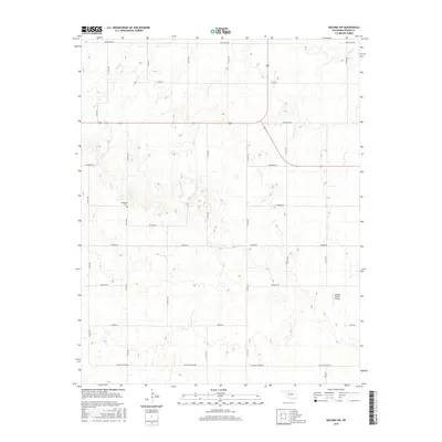
2016 Map of Dacoma SW
USGS Topo · Published 2016About this map
Highland Cem stands as a focal point for genealogy and local history in this section of Woods County, situated amidst the section-line roads of the Oklahoma plains. The landscape is defined by a rhythmic grid of rural thoroughfares, including Aline Blacktop Rd and Cleveland Rd, which reflect the enduring land-use patterns of the region's agricultural heritage. Small drainage systems like Sand Cr cut across the high plains, providing natural relief to the otherwise geometric layout of the territory.
Find a feature on this map
20 named features on this map. Tap any name to fly to it.
Don’t see what you’re looking for? This feature index may not catch every label — zoom into the map to look around manually.
Map Details
Editions of this 2016 Dacoma SW Map
This is the sole edition of this map. No revisions or reprints were ever made.
Other maps of this area

1955 · Woodward
USGS Topo · 1:250,000

1958 · Woodward
USGS Topo · 1:250,000

1969 · Dacoma
USGS Topo · 1:24,000

1969 · Dacoma SW
USGS Topo · 1:24,000

1969 · Glass Mountains NW
USGS Topo · 1:24,000

1969 · Hopeton
USGS Topo · 1:24,000

1969 · Avard
USGS Topo · 1:24,000

1969 · Waynoka East
USGS Topo · 1:24,000

1969 · Glass Mountains NE
USGS Topo · 1:24,000

1969 · Togo
USGS Topo · 1:24,000