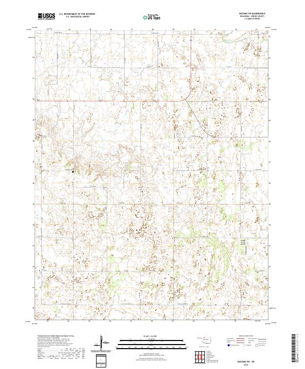
2022 Map of Dacoma SW
USGS Topo · Published 2022About this map
The agricultural grid of Woods County defines this landscape, where the prairie is organized by an extensive network of range and township lines. Highland Cem stands as a quiet focal point for local genealogy, located along a rural corridor between Co Rd 400 and Co Rd 410. This modern record by the U.S. Geological Survey details the intersection of ranching infrastructure and natural drainage patterns, most notably where Sand Cr carves through the northern sections near Comanche Rd. Further south, the Logsdon Ranch Airport highlights the specialized aviation needs of the remote Oklahoma plains, while the systematic naming of thoroughfares after tribal nations—including Cimarron Rd, Choctaw Rd, and Canadian Rd—reflects the regional heritage and road naming conventions of the plains.
Find a feature on this map
29 named features on this map. Tap any name to fly to it.
Don’t see what you’re looking for? This feature index may not catch every label — zoom into the map to look around manually.
Map Details
Editions of this 2022 Dacoma SW Map
This is the sole edition of this map. No revisions or reprints were ever made.
Other maps of this area

1955 · Woodward
USGS Topo · 1:250,000

1958 · Woodward
USGS Topo · 1:250,000

1969 · Dacoma
USGS Topo · 1:24,000

1969 · Dacoma SW
USGS Topo · 1:24,000

1969 · Glass Mountains NW
USGS Topo · 1:24,000

1969 · Hopeton
USGS Topo · 1:24,000

1969 · Avard
USGS Topo · 1:24,000

1969 · Waynoka East
USGS Topo · 1:24,000

1969 · Glass Mountains NE
USGS Topo · 1:24,000

1969 · Togo
USGS Topo · 1:24,000