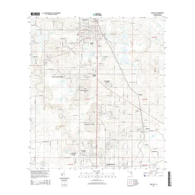
2015 Map of Dade City
USGS Topo · Published 2015About this map
The county seat of Dade City and its surrounding residential expansions form the core of this Pasco County survey. The landscape is characterized by a dense concentration of small water bodies such as Larkin Camp Lake, Knee Deep Lake, and Boiler Lake, reflecting the region's complex karst topography and high water table. Settlement patterns follow the CSX Transportation rail corridor, which serves as a backbone for communities like Richland, Vitis, and Lumberton. Local history is anchored by established burial grounds including Mount Zion Cem and Smith Cem, while the topography rises at points like Nursery Hill and LeHeup Hill. The varied geography transition from the Withlacoochee River in the northeast to the emerging suburban developments of Cunningham Estates and Fort King Acres in the south near the Zephyrhills border.
Find a feature on this map
124 named features on this map. Tap any name to fly to it.
Don’t see what you’re looking for? This feature index may not catch every label — zoom into the map to look around manually.
Map Details
Editions of this 2015 Dade City Map
This is the sole edition of this map. No revisions or reprints were ever made.
Other maps of this area

1944 · Wesley Chapel
USGS Topo · 1:31,680

1944 · Socrum
USGS Topo · 1:31,680

1947 · Zephyrhills
USGS Topo · 1:24,000

1954 · Spring Lake
USGS Topo · 1:24,000

1954 · San Antonio
USGS Topo · 1:24,000

1955 · Plant City
USGS Topo · 1:250,000

1958 · Plant City
USGS Topo · 1:250,000

1959 · Plant City
USGS Topo · 1:250,000

1960 · Lacoochee
USGS Topo · 1:24,000

1960 · Branchborough
USGS Topo · 1:24,000