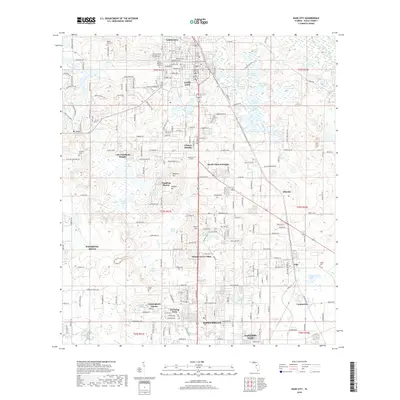
2018 Map of Dade City
USGS Topo · Published 2018About this map
Dade City and Zephyrhills anchor this Pasco County corridor, where the CSX Transportation railroad line tracks through a landscape defined by an abundance of natural lakes. The eastern edge is bounded by the winding Withlacoochee River, while the interior is dotted with significant water bodies such as Sumner Lake, Lake Pasadena, and Buddy Lake.
Find a feature on this map
230 named features on this map. Tap any name to fly to it.
Don’t see what you’re looking for? This feature index may not catch every label — zoom into the map to look around manually.
Map Details
Editions of this 2018 Dade City Map
This is the sole edition of this map. No revisions or reprints were ever made.
Other maps of this area

1944 · Wesley Chapel
USGS Topo · 1:31,680

1944 · Socrum
USGS Topo · 1:31,680

1947 · Zephyrhills
USGS Topo · 1:24,000

1954 · Spring Lake
USGS Topo · 1:24,000

1954 · San Antonio
USGS Topo · 1:24,000

1955 · Plant City
USGS Topo · 1:250,000

1958 · Plant City
USGS Topo · 1:250,000

1959 · Plant City
USGS Topo · 1:250,000

1960 · Lacoochee
USGS Topo · 1:24,000

1960 · Branchborough
USGS Topo · 1:24,000