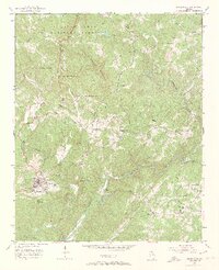
1951 Map of Dahlonega
USGS Topo · Published 1967About this map
Dahlonega serves as the focal point of this 1951 survey, appearing as a concentrated hub of settlement at the foot of the Blue Ridge foothills. The campus of North Georgia College anchors the southwestern portion of the town, while the surrounding landscape is defined by the winding course of the Chestatee River and its numerous tributaries. North of the city, the Chattahoochee National Forest encompasses the prominent ridge of Three Sisters Mountain.
Find a feature on this map
27 named features on this map. Tap any name to fly to it.
Don’t see what you’re looking for? This feature index may not catch every label — zoom into the map to look around manually.
Map Details
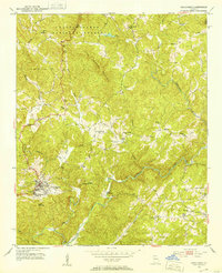
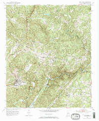
Editions of this 1951 Dahlonega Map
3 editions found
Other maps of this area

1886 · Dahlonega
USGS Topo · 1:125,000

1888 · Ellijay
USGS Topo · 1:125,000

1890 · Suwanee
USGS Topo · 1:125,000

1891 · Gainesville
USGS Topo · 1:125,000

1892 · Dahlonega
USGS Topo · 1:125,000

1892 · Ellijay
USGS Topo · 1:125,000

1894 · Suwanee
USGS Topo · 1:125,000

1896 · Dahlonega
USGS Topo · 1:125,000

1898 · Ellijay
USGS Topo · 1:125,000

1903 · Dahlonega
USGS Topo · 1:125,000