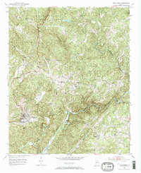
1951 Map of Dahlonega
USGS Topo · Published 1967About this map
Dahlonega serves as the focal point of this North Georgia survey, appearing shortly after the second World War when the community was defined by the presence of North Georgia College. The landscape is dominated by the southern reaches of the Chattahoochee National Forest, with significant elevations like Three Sisters Mountain and Crown Mountain shaping the local geography.
Find a feature on this map
24 named features on this map. Tap any name to fly to it.
Don’t see what you’re looking for? This feature index may not catch every label — zoom into the map to look around manually.
Map Details
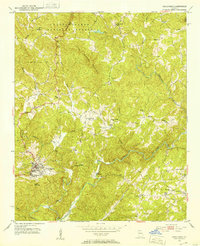
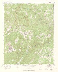
Editions of this 1951 Dahlonega Map
3 editions found
Other maps of this area

1886 · Dahlonega
USGS Topo · 1:125,000

1888 · Ellijay
USGS Topo · 1:125,000

1890 · Suwanee
USGS Topo · 1:125,000

1891 · Gainesville
USGS Topo · 1:125,000

1892 · Dahlonega
USGS Topo · 1:125,000

1892 · Ellijay
USGS Topo · 1:125,000

1894 · Suwanee
USGS Topo · 1:125,000

1896 · Dahlonega
USGS Topo · 1:125,000

1898 · Ellijay
USGS Topo · 1:125,000

1903 · Dahlonega
USGS Topo · 1:125,000