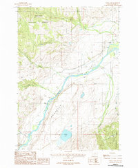
1988 Map of Dailey Lake
USGS Topo · Published 1988About this map
Paradise Valley serves as the central corridor for this 1980s topographic study, where the Yellowstone River cuts through the Montana landscape. The map reveals a transition from the agricultural and transport-oriented valley floor to the protected elevations of the Gallatin National Forest. While the high ground is marked by summits like Fridley and Golmeyer, the valley contains specific historical markers of development including the Emigrant Cem and scattered Gravel Pits.
Find a feature on this map
20 named features on this map. Tap any name to fly to it.
Don’t see what you’re looking for? This feature index may not catch every label — zoom into the map to look around manually.
Map Details
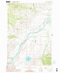
Editions of this 1988 Dailey Lake Map
2 editions found
Other maps of this area

1891 · Livingston
USGS Topo · 1:250,000

1893 · Livingston
USGS Topo · 1:250,000

1947 · Bozeman
USGS Topo · 1:250,000

1948 · Bozeman
USGS Topo · 1:250,000

1955 · Bozeman
USGS Topo · 1:250,000

1955 · Emigrant
USGS Topo · 1:62,500

1955 · Fridley Peak
USGS Topo · 1:62,500
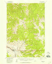
1955 · Gardiner
USGS Topo · 1:62,500
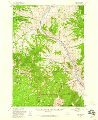
1955 · Miner
USGS Topo · 1:62,500

1958 · Bozeman
USGS Topo · 1:250,000