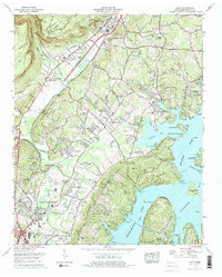
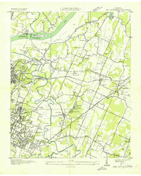
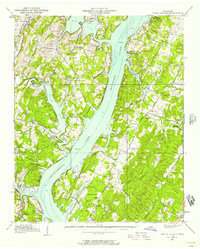
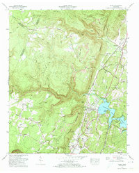
1976 Map of Daisy
USGS Topo · Published 1984About this map
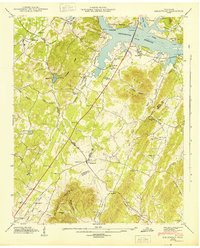
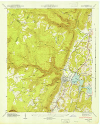
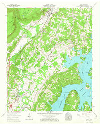
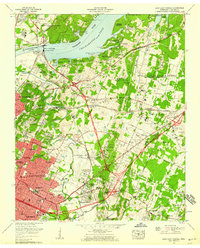
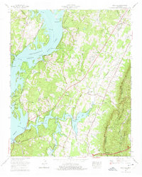
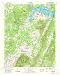
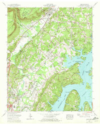
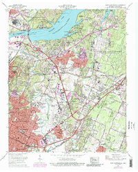
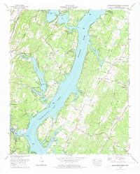
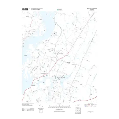
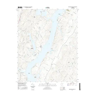
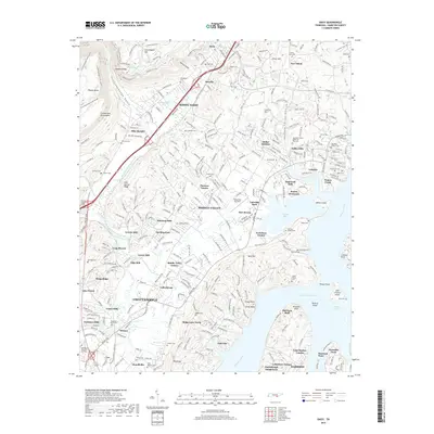
The expansive waters of Chickamauga Lake and the Tennessee River dominate this 1970s landscape, reflecting the impact of TVA development on Hamilton County. The transition from industrial corridors to residential expansion is evident as the Southern Railway and U S Highway 27 cut through the western valleys, connecting Soddy-Daisy and Hixson toward the growing northern edge of Chattanooga. While suburban developments like Middle Valley and Valleybrook are well-established, older rural markers remain, including numerous family burial grounds such as Wright Cem and Barker Cem. To the east, the shoreline of Harrison Bay and the wooded terrain of Big Ridge contrast with the commercial activity at Northgate Mall. Landmarks like Mystic Caverns and the Sequoyah Vocational Technical School provide a look at the local tourism and educational infrastructure of the mid-1970s.
Find a feature on this map
82 named features on this map. Tap any name to fly to it.
Don’t see what you’re looking for? This feature index may not catch every label — zoom into the map to look around manually.
Map Details
Editions of this 1976 Daisy Map
2 editions found
Historical Maps of Chattanooga Through Time
55 maps found
1935 Birchwood
Hamilton County, TN
1935 Daisy
Hamilton County, TN
1935 East Chattanooga
Hamilton County, TN
1935 Snow Hill
Hamilton County, TN
1935 Soddy
Hamilton County, TN
1935 Soddy Island
Hamilton County, TN
1939 Soddy Island
Hamilton County, TN
1942 Birchwood
Hamilton County, TN
1942 East Chattanooga
Hamilton County, TN
1942 Snow Hill
Hamilton County, TN
1943 Birchwood
Hamilton County, TN
1943 Daisy
Hamilton County, TN
1943 Snow Hill
Hamilton County, TN
1946 Soddy
Hamilton County, TN
1947 Soddy
Hamilton County, TN
1958 Daisy
Hamilton County, TN
1958 East Chattanooga
Hamilton County, TN
1964 Snow Hill
Hamilton County, TN
1967 Birchwood
Hamilton County, TN
1969 Daisy
Hamilton County, TN
1969 East Chattanooga
Hamilton County, TN
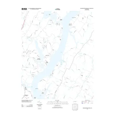
1972 Grasshopper Creek
Hamilton County, TN
1972 Soddy
Hamilton County, TN
1976 Daisy
Hamilton County, TN
1980 Snow Hill
Hamilton County, TN
2010 Birchwood
Hamilton County, TN
2010 East Chattanooga
Hamilton County, TN
2010 Grasshopper Creek
Hamilton County, TN
2010 Snow Hill
Hamilton County, TN
2010 Soddy
Hamilton County, TN
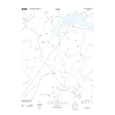
2011 Daisy
Hamilton County, TN
2013 Birchwood
Hamilton County, TN
2013 Daisy
Hamilton County, TN
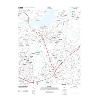
2013 East Chattanooga
Hamilton County, TN
2013 Grasshopper Creek
Hamilton County, TN
2013 Snow Hill
Hamilton County, TN
2013 Soddy
Hamilton County, TN

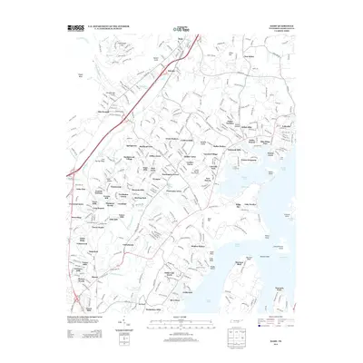
2016 Birchwood
Hamilton County, TN
2016 Daisy
Hamilton County, TN
2016 East Chattanooga
Hamilton County, TN
2016 Grasshopper Creek
Hamilton County, TN
2016 Snow Hill
Hamilton County, TN
2016 Soddy
Hamilton County, TN
2019 Birchwood
Hamilton County, TN
2019 Daisy
Hamilton County, TN
2019 East Chattanooga
Hamilton County, TN
2019 Grasshopper Creek
Hamilton County, TN
2019 Snow Hill
Hamilton County, TN
2019 Soddy
Hamilton County, TN
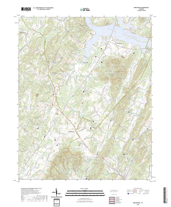
2022 Birchwood
Hamilton County, TN
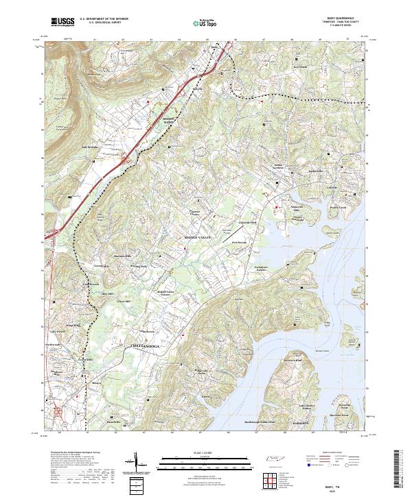
2022 Daisy
Hamilton County, TN
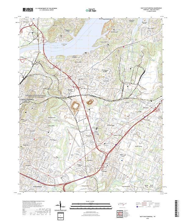
2022 East Chattanooga
Hamilton County, TN
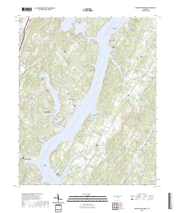
2022 Grasshopper Creek
Hamilton County, TN
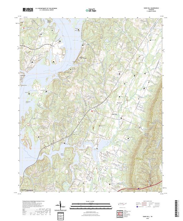
2022 Snow Hill
Hamilton County, TN
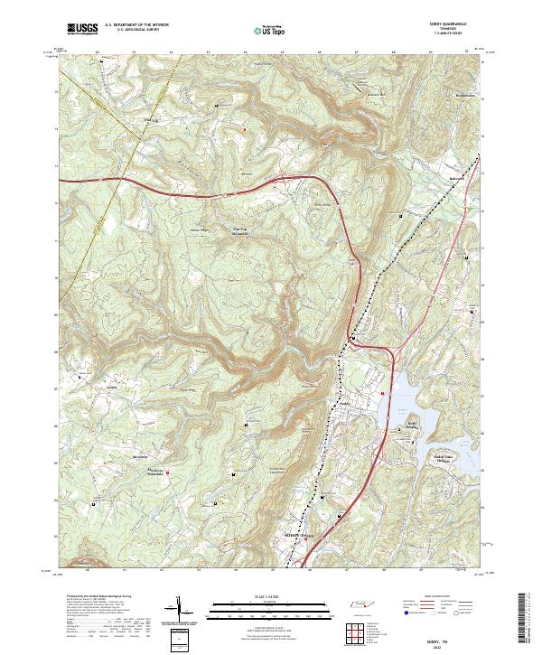
2022 Soddy
Hamilton County, TN