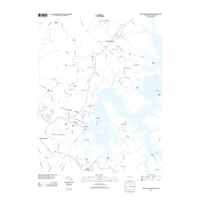
2013 Map of Dale Hollow Dam
USGS Topo · Published 2013About this map
Dale Hollow Lake dominates the eastern half of this landscape, its serpentine shoreline reaching into narrow drainages like Holly Creek and Martins Branch. The engineering at Dale Hollow Dam controls the flow into the Obey River, which then winds westward past Walker Bend and Peterman Bend. On the higher ground north of the water, several small crossroads and settlements define the social geography, including Thompsons Store, Ashlock, and Pea Ridge.
Find a feature on this map
141 named features on this map. Tap any name to fly to it.
Don’t see what you’re looking for? This feature index may not catch every label — zoom into the map to look around manually.
Map Details
Editions of this 2013 Dale Hollow Dam Map
This is the sole edition of this map. No revisions or reprints were ever made.
Other maps of this area

1897 · Standingstone
USGS Topo · 1:125,000

1898 · Standingstone
USGS Topo · 1:125,000

1924 · Lillydale
USGS Topo · 1:62,500

1925 · Gainesboro
USGS Topo · 1:62,500

1926 · Lillydale
USGS Topo · 1:62,500

1929 · Lillydale
USGS Topo · 1:62,500

1929 · Gainesboro
USGS Topo · 1:62,500

1929 · Tompkinsville
USGS Topo · 1:62,500

1944 · Livingston
USGS Topo · 1:24,000

1954 · Frogue
USGS Topo · 1:24,000