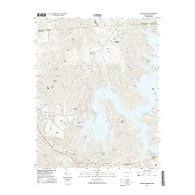
2016 Map of Dale Hollow Dam
USGS Topo · Published 2016About this map
Dale Hollow Dam and the expansive waters of Dale Hollow Lake dominate this 2016 survey of Clay County, Tennessee, and the Kentucky border. The landscape is defined by the sharp transition between the deep river valleys and high ridges like Star Ridge and Swann Ridge. The Obey River winds through dramatic turns at Walker Bend and Peterman Bend just south of Celina, a settlement where the local road network converges.
Find a feature on this map
118 named features on this map. Tap any name to fly to it.
Don’t see what you’re looking for? This feature index may not catch every label — zoom into the map to look around manually.
Map Details
Editions of this 2016 Dale Hollow Dam Map
This is the sole edition of this map. No revisions or reprints were ever made.
Other maps of this area

1897 · Standingstone
USGS Topo · 1:125,000

1898 · Standingstone
USGS Topo · 1:125,000

1924 · Lillydale
USGS Topo · 1:62,500

1925 · Gainesboro
USGS Topo · 1:62,500

1926 · Lillydale
USGS Topo · 1:62,500

1929 · Lillydale
USGS Topo · 1:62,500

1929 · Gainesboro
USGS Topo · 1:62,500

1929 · Tompkinsville
USGS Topo · 1:62,500

1944 · Livingston
USGS Topo · 1:24,000

1954 · Frogue
USGS Topo · 1:24,000