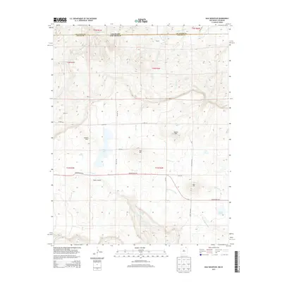
2013 Map of Dale Mountain
USGS Topo · Published 2013About this map
Johnson Mesa dominates this high-altitude landscape along the border of Colorado and New Mexico, where the steep escarpments of Taylor Canyon drop away to the south. Small rural settlements like Doherty, Berry, and Demcheck are scattered across the terrain, connected by a network of local routes such as Rathbun Rd and Johnson Mesa Hwy. The hydrology of the area is defined by seasonal drainages and springs, including the headwaters of the Dry Cimarron River and several namesake bodies of water like Berry Lake and Bellisle Lake. Volcanic features are prominent markers in this territory, from the heights of Madrid Peak and Dale Mtn to the distinct form of Red Mtn near the eastern edge. This survey reveals a land utilized for ranching and resource management, etched with irrigation features like the Mestas Ditch and named water sources like Ross Spring.
Find a feature on this map
42 named features on this map. Tap any name to fly to it.
Don’t see what you’re looking for? This feature index may not catch every label — zoom into the map to look around manually.
Map Details
Editions of this 2013 Dale Mountain Map
This is the sole edition of this map. No revisions or reprints were ever made.
Other maps of this area

1892 · Elmoro
USGS Topo · 1:125,000

1893 · Elmoro
USGS Topo · 1:125,000

1897 · Elmoro
USGS Topo · 1:125,000

1912 · Raton
USGS Topo · 1:62,500

1914 · Raton
USGS Topo · 1:62,500

1954 · Raton
USGS Topo · 1:250,000

1954 · Trinidad
USGS Topo · 1:250,000

1955 · Trinidad
USGS Topo · 1:250,000

1958 · Raton
USGS Topo · 1:250,000

1958 · Trinidad
USGS Topo · 1:250,000