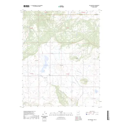
2023 Map of Dale Mountain
USGS Topo · Published 2023About this map
Johnson Mesa dominates this high-altitude landscape along the border of Colfax County, New Mexico, and Las Animas County, Colorado. The mesa top is marked by the presence of the Johnson Mesa Cem, a significant site for local family history and genealogy. The terrain transitions from the elevated flats of the mesa down into the drainage of the Dry Cimarron River, which flows through the southern portion of the sheet.
Find a feature on this map
40 named features on this map. Tap any name to fly to it.
Don’t see what you’re looking for? This feature index may not catch every label — zoom into the map to look around manually.
Map Details
Editions of this 2023 Dale Mountain Map
This is the sole edition of this map. No revisions or reprints were ever made.
Other maps of this area

1892 · Elmoro
USGS Topo · 1:125,000

1893 · Elmoro
USGS Topo · 1:125,000

1897 · Elmoro
USGS Topo · 1:125,000

1912 · Raton
USGS Topo · 1:62,500

1914 · Raton
USGS Topo · 1:62,500

1954 · Raton
USGS Topo · 1:250,000

1954 · Trinidad
USGS Topo · 1:250,000

1955 · Trinidad
USGS Topo · 1:250,000

1958 · Raton
USGS Topo · 1:250,000

1958 · Trinidad
USGS Topo · 1:250,000