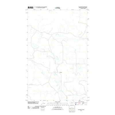
2011 Map of Daleview
USGS Topo · Published 2011About this map
Daleview sits at the heart of this prairie landscape in Sheridan County, where the convergence of several waterways shapes the rural geography. The meandering paths of Big Muddy Creek, Beaver Creek, and Whitetail Creek dominate the terrain, creating a complex drainage system across the northern plains. The presence of the Soo Line railroad in the southern portion of the quadrangle highlights the historical importance of rail transport for moving agricultural products in this border region. Local connectivity is maintained through a network of rural routes, including Dutch Henry Rd and Daleview Rd, which follow the section lines and topography of the drainage basins. This map illustrates the sparse, methodical settlement pattern typical of the region, where infrastructure is closely tied to the natural watercourses and the established rail corridor.
Find a feature on this map
12 named features on this map. Tap any name to fly to it.
Don’t see what you’re looking for? This feature index may not catch every label — zoom into the map to look around manually.
Map Details
Editions of this 2011 Daleview Map
This is the sole edition of this map. No revisions or reprints were ever made.
Other maps of this area

1954 · Wolf Point
USGS Topo · 1:250,000

1958 · Wolf Point
USGS Topo · 1:250,000

1973 · Navajo
USGS Topo · 1:24,000

1973 · Goodale Coulee
USGS Topo · 1:24,000
1983 · Daleview
USGS Topo · 1:24,000

1983 · Outlook
USGS Topo · 1:24,000

1983 · Redstone
USGS Topo · 1:24,000

1983 · Archer
USGS Topo · 1:24,000

1983 · Scobey
USGS Topo · 1:100,000
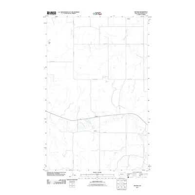
2011 · Archer
USGS Topo · 1:24,000