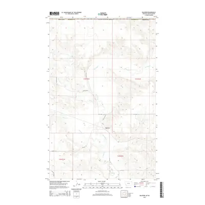
2014 Map of Daleview
USGS Topo · Published 2014About this map
Daleview stands as the primary namesake settlement in this northern Sheridan County landscape, situated where the high plains of Montana meet the international boundary with Canada. The drainage of Big Muddy Cr dictates the local topography, carving a wide basin that collects smaller tributaries including Beaver Cr and Whitetail Cr. This 2014 survey reveals a sparse human footprint typical of the remote northern Missouri Plateau, where the economy is etched into the earth through a geometric grid of section lines and gravel paths. Transportation is limited to functional rural routes such as Dutch Henry Rd and Daleview Hills Rd, which connect isolated farmsteads across the undulating coulees. The map serves as a precise record of the land just before modern technological shifts, documenting a corner of the United States where the vastness of the prairie remains the dominant feature.
Find a feature on this map
17 named features on this map. Tap any name to fly to it.
Don’t see what you’re looking for? This feature index may not catch every label — zoom into the map to look around manually.
Map Details
Editions of this 2014 Daleview Map
This is the sole edition of this map. No revisions or reprints were ever made.
Other maps of this area

1954 · Wolf Point
USGS Topo · 1:250,000

1958 · Wolf Point
USGS Topo · 1:250,000

1973 · Navajo
USGS Topo · 1:24,000

1973 · Goodale Coulee
USGS Topo · 1:24,000
1983 · Daleview
USGS Topo · 1:24,000

1983 · Outlook
USGS Topo · 1:24,000

1983 · Redstone
USGS Topo · 1:24,000

1983 · Archer
USGS Topo · 1:24,000

1983 · Scobey
USGS Topo · 1:100,000
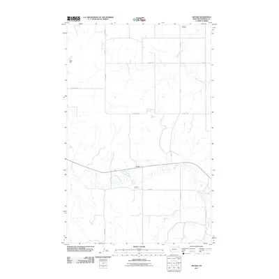
2011 · Archer
USGS Topo · 1:24,000