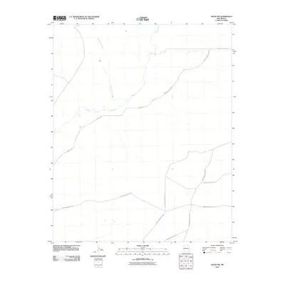
2010 Map of Dalies NW
USGS Topo · Published 2010About this map
The Rio Puerco meanders through this portion of Bernalillo County, creating a distinct hydrological corridor across the arid landscape. This 2010 survey by the U.S. Geological Survey highlights a sparse, rural infrastructure dominated by a network of tribal and Indian Service roads. The confluence of Cañada los Apaches with the main riverbed illustrates the natural drainage patterns that define this high-desert environment.
Find a feature on this map
10 named features on this map. Tap any name to fly to it.
Don’t see what you’re looking for? This feature index may not catch every label — zoom into the map to look around manually.
Map Details
Editions of this 2010 Dalies NW Map
This is the sole edition of this map. No revisions or reprints were ever made.
Other maps of this area

1883 · Mt. Taylor
USGS Topo · 1:250,000

1886 · Mt. Taylor
USGS Topo · 1:250,000

1888 · Bernalillo
USGS Topo · 1:125,000

1889 · Albuquerque
USGS Topo · 1:125,000

1892 · Mt. Taylor
USGS Topo · 1:250,000

1893 · Albuquerque
USGS Topo · 1:125,000

1899 · Mt. Taylor
USGS Topo · 1:250,000

1917 · Cerro Verde
USGS Topo · 1:125,000

1952 · Wind Mesa
USGS Topo · 1:24,000

1952 · Dalies
USGS Topo · 1:24,000