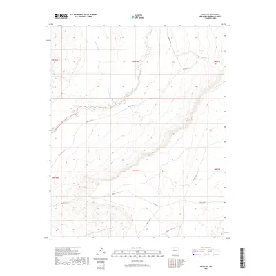
2020 Map of Dalies NW
USGS Topo · Published 2020About this map
The Rio Puerco riverbed meanders through the arid terrain of Bernalillo County, defining the drainage patterns of this high-desert landscape. Secondary drainages such as Cañada los Apaches feed into the main river valley from the north, cutting through the mesa country of central New Mexico. The area's transit is defined by a network of bureaucratic road systems, primarily the Bureau of Indian Affairs routes, including Indian Svc Rte 61 and Indian Svc Rte 611. These routes navigate the complex topography and township boundaries of T9N R1W and T8N R1W. This 2020 edition provides a clear record of the modern infrastructure and natural watercourses, showing how primitive roads like the Unknown Dirt Rd intersect with established service routes across the open range.
Find a feature on this map
17 named features on this map. Tap any name to fly to it.
Don’t see what you’re looking for? This feature index may not catch every label — zoom into the map to look around manually.
Map Details
Editions of this 2020 Dalies NW Map
This is the sole edition of this map. No revisions or reprints were ever made.
Other maps of this area

1883 · Mt. Taylor
USGS Topo · 1:250,000

1886 · Mt. Taylor
USGS Topo · 1:250,000

1888 · Bernalillo
USGS Topo · 1:125,000

1889 · Albuquerque
USGS Topo · 1:125,000

1892 · Mt. Taylor
USGS Topo · 1:250,000

1893 · Albuquerque
USGS Topo · 1:125,000

1899 · Mt. Taylor
USGS Topo · 1:250,000

1917 · Cerro Verde
USGS Topo · 1:125,000

1952 · Wind Mesa
USGS Topo · 1:24,000

1952 · Dalies
USGS Topo · 1:24,000