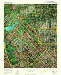
1968 Map of Dallas (A)
USGS Topo · Published 1970About this map
Love Field Municipal Airport dominates the central landscape of this 1968 orthophotomap, showing the sprawling complex of runways, the Terminal Building, and the surrounding industrial and residential infrastructure of north Dallas. The aerial imagery reveals the tight integration of transport and utility, where the Missouri Kansas and Pacific railroad tracks and the Bachman Filtration Plant sit adjacent to the recreational waters of Bachman Lake. This era shows the city in a phase of dense infill, with neighborhood schools like Williams Sch and Longfellow Sch serving established residential blocks.
Find a feature on this map
45 named features on this map. Tap any name to fly to it.
Don’t see what you’re looking for? This feature index may not catch every label — zoom into the map to look around manually.
Map Details
Editions of this 1968 Dallas (A) Map
This is the sole edition of this map. No revisions or reprints were ever made.
Other maps of this area

1891 · Dallas
USGS Topo · 1:125,000

1893 · Dallas
USGS Topo · 1:125,000

1925 · Dallas 2-b
USGS Topo · 1:48,000

1931 · Carrollton
USGS Topo · 1:62,500

1954 · Dallas
USGS Topo · 1:250,000

1958 · Dallas
USGS Topo · 1:250,000

1958 · Dallas
USGS Topo · 1:24,000
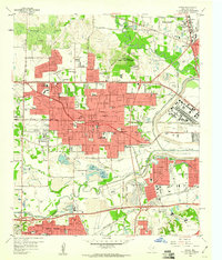
1959 · Irving
USGS Topo · 1:24,000
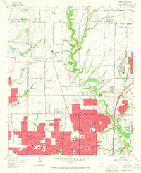
1959 · Addison
USGS Topo · 1:24,000
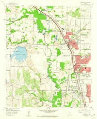
1959 · Carrollton
USGS Topo · 1:24,000