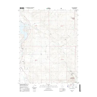
2016 Map of Dallas
USGS Topo · Published 2016About this map
The Uncompahgre River flows north toward the expansive Ridgway Reservoir in this western Colorado landscape, where the settlement of Ridgway serves as a central hub. The river valley is flanked by high mesas and distinct peaks, including Enchanted Mesa and the aptly named Onion Hill. The map reveals a complex water management system essential for this high-altitude environment, featuring the Alkali Ditch Number 1 and Alkali Ditch Number 2, which divert water across the rugged terrain of the Uncompahgre National Forest.
Find a feature on this map
68 named features on this map. Tap any name to fly to it.
Don’t see what you’re looking for? This feature index may not catch every label — zoom into the map to look around manually.
Map Details
Editions of this 2016 Dallas Map
This is the sole edition of this map. No revisions or reprints were ever made.
Other maps of this area

1902 · Ouray
USGS Topo · 1:62,500

1904 · Ouray
USGS Topo · 1:62,500

1909 · Montrose
USGS Topo · 1:125,000

1911 · Montrose
USGS Topo · 1:125,000

1955 · Ouray
USGS Topo · 1:24,000

1956 · Montrose
USGS Topo · 1:250,000

1959 · Montrose
USGS Topo · 1:250,000

1960 · Montrose
USGS Topo · 1:250,000
1963 · Buckhorn Lakes
USGS Topo · 1:24,000
1963 · Courthouse Mountain
USGS Topo · 1:24,000