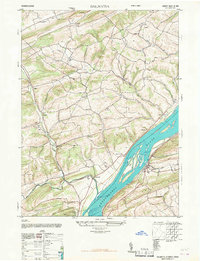
1947 Map of Dalmatia
USGS Topo · Published 1967About this map
The Susquehanna River dominates the southern landscape of this 1947 survey, where Browns Island sits anchored between the banks of Snyder and Northumberland counties. The map captures a rural Pennsylvania interior defined by family-named schools and small upland settlements before the significant shifts in mid-century rural education. Scores of local institutions like South Pole School, Morning Glory School, and Reinholdsbachs School are scattered across the ridges, serving the agricultural communities of Verdilla, Meiserville, and Shadle. Along the river's edge, the town of Dalmatia and the geological landmark at McKee Half Falls mark the transit corridor. The intricate drainage network of Mahantango Creek and Susquehecka Creek reveals a deeply dissected terrain of high ridges like Fisher Ridge, where small churches such as Ebenezer Church and St Pauls Church provided the social anchors for these isolated valleys.
Find a feature on this map
46 named features on this map. Tap any name to fly to it.
Don’t see what you’re looking for? This feature index may not catch every label — zoom into the map to look around manually.
Map Details
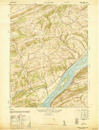
Editions of this 1947 Dalmatia Map
2 editions found
Other maps of this area

1893 · Sunbury
USGS Topo · 1:62,500

1893 · Millersburg
USGS Topo · 1:62,500

1907 · Millerstown
USGS Topo · 1:62,500

1938 · Mifflinburg
USGS Topo · 1:48,000

1943 · Millerstown
USGS Topo · 1:62,500

1943 · Millersburg
USGS Topo · 1:62,500

1943 · Sunbury
USGS Topo · 1:62,500

1943 · Mifflinburg
USGS Topo · 1:62,500
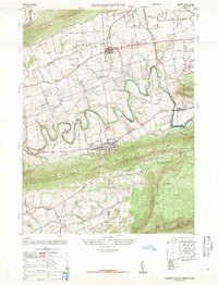
1947 · Elizabethville
USGS Topo · 1:24,000
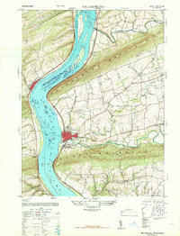
1947 · Millersburg
USGS Topo · 1:24,000
Featured Places
- Chapman, PA
- Chapman Township, PA
- Port Trevorton, PA
- Lower Mahanoy Township, PA
- Upper Paxton Township, PA