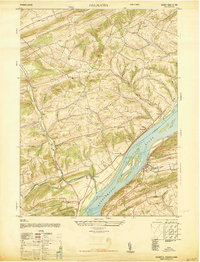
1947 Map of Dalmatia
USGS Topo · Published 1947About this map
The Susquehanna River dominates this 1947 landscape, its braided channels flowing past Browns Island and the landmark McKee Half Falls. On the eastern bank, the village of Dalmatia is a primary hub for the Pennsylvania Railroad, while the surrounding hills are dotted with family-named schools and small rural settlements like Meiserville, Aline, and Verdilla.
Find a feature on this map
40 named features on this map. Tap any name to fly to it.
Don’t see what you’re looking for? This feature index may not catch every label — zoom into the map to look around manually.
Map Details
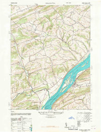
Editions of this 1947 Dalmatia Map
2 editions found
Other maps of this area
1893 · Sunbury
USGS Topo · 1:62,500

1893 · Millersburg
USGS Topo · 1:62,500

1907 · Millerstown
USGS Topo · 1:62,500
1938 · Mifflinburg
USGS Topo · 1:48,000
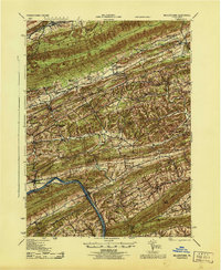
1943 · Millerstown
USGS Topo · 1:62,500
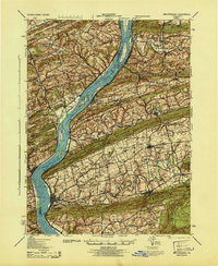
1943 · Millersburg
USGS Topo · 1:62,500
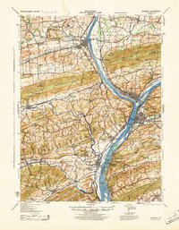
1943 · Sunbury
USGS Topo · 1:62,500
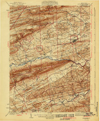
1943 · Mifflinburg
USGS Topo · 1:62,500
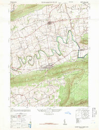
1947 · Elizabethville
USGS Topo · 1:24,000
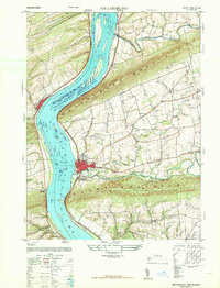
1947 · Millersburg
USGS Topo · 1:24,000
Featured Places
- Chapman, PA
- Chapman Township, PA
- Port Trevorton, PA
- Lower Mahanoy Township, PA
- Upper Paxton Township, PA