
1964 Map of Dalton
USGS Topo · Published 1966About this map
The Ninnescah River winds through the northern reaches of this Sumner County landscape, where the agricultural plains meet the infrastructure of mid-century Kansas. In the mid-1960s, the Kansas Turnpike cuts a modern diagonal across the terrain, accompanied by the Wellington Service Facility and the Wellington Interchange. The transition from old to new is evident in the survival of Pink Sch alongside industrial development like the Interchange Oil Field and the Rusk Oil Field.
Find a feature on this map
26 named features on this map. Tap any name to fly to it.
Don’t see what you’re looking for? This feature index may not catch every label — zoom into the map to look around manually.
Map Details
Editions of this 1964 Dalton Map
This is the sole edition of this map. No revisions or reprints were ever made.
Other maps of this area

1890 · Wellington
USGS Topo · 1:125,000

1955 · Belle Plaine
USGS Topo · 1:24,000
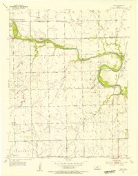
1955 · Zyba
USGS Topo · 1:24,000

1955 · Mulvane
USGS Topo · 1:24,000

1955 · Wichita
USGS Topo · 1:250,000

1958 · Wichita
USGS Topo · 1:250,000

1964 · South Haven NE
USGS Topo · 1:24,000

1965 · Adamsville
USGS Topo · 1:24,000

1965 · Rome
USGS Topo · 1:24,000
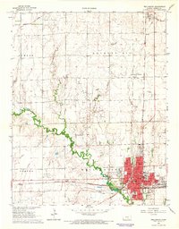
1965 · Wellington
USGS Topo · 1:24,000