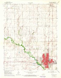
1965 Map of Wellington
USGS Topo · Published 1966About this map
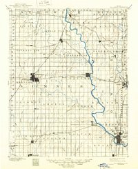
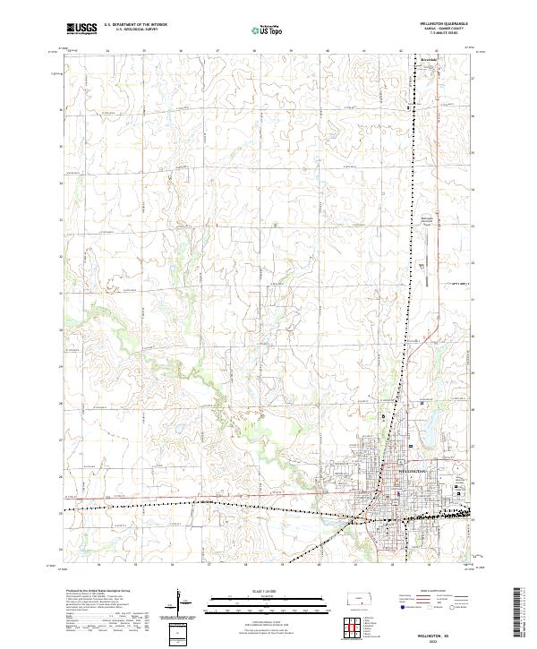
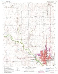
Wellington stands as a bustling regional hub in the mid-1960s, defined by its intricate street grid and dense concentration of civic institutions including the Courthouse, City Hall, and numerous neighborhood schools such as Washington Sch and McKinley Sch. The town is a critical junction for the Chicago Rock Island and Pacific and the Atchison Topeka and Santa Fe railroads, reflecting its role in the agricultural and transport economy of Sumner County. Beyond the residential center, the landscape is punctuated by the energy industry, with the Anson Southeast Oil Field and Wellington Northeast Oil Field indicating the subsurface wealth of the region. Natural features like State Creek and Oak Creek meander through the prairie, while landmarks like the Drive-in Theater and Wellington Airport capture the mid-century social and infrastructure character of this Kansas community.
Find a feature on this map
51 named features on this map. Tap any name to fly to it.
Don’t see what you’re looking for? This feature index may not catch every label — zoom into the map to look around manually.
Map Details
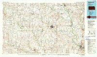
Editions of this 1965 Wellington Map
2 editions found
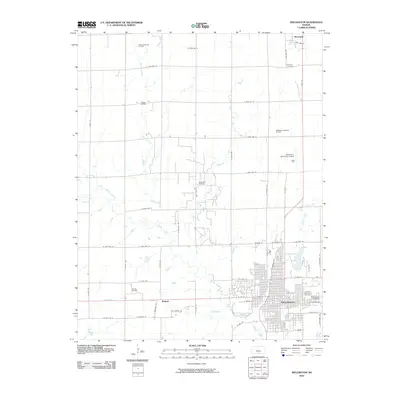
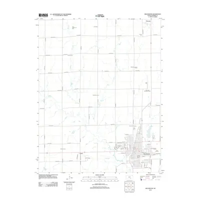
Historical Maps of Wellington Through Time
8 maps found