Loading...
Loading map...1965 Map of Wellington
USGS Topo · Published 1983About this map
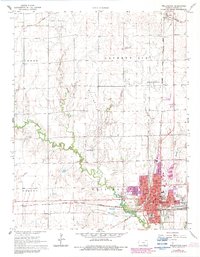
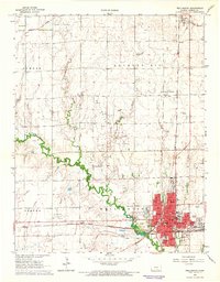
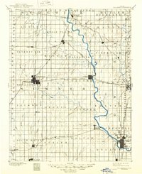
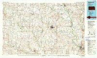
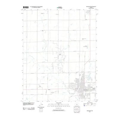
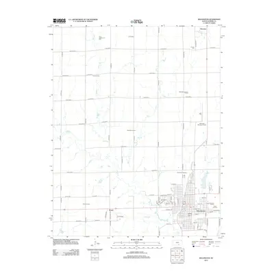
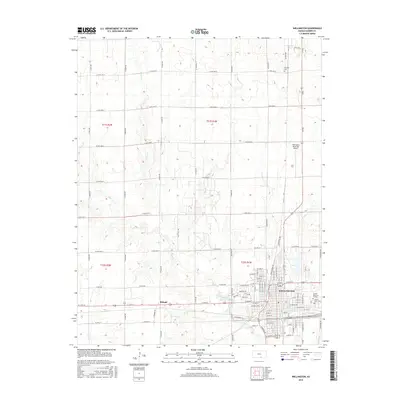
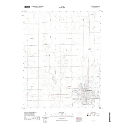
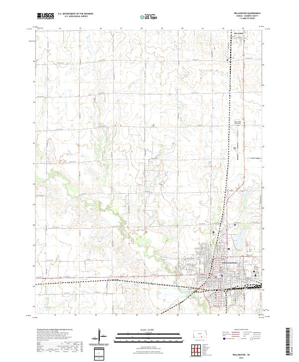
Wellington serves as the focal point of this mid-century survey, shown during a period of urban expansion and petroleum development. The landscape is marked by several significant fossil fuel deposits, including the Anson Southeast Oil Field and the Wellington Northeast Oil Field, which underscore the region's industrial foundations. The town's civic infrastructure is meticulously detailed, from the Courthouse and City Hall to an extensive network of local schools such as Washington Sch and Lincoln Sch.
Find a feature on this map
39 named features on this map. Tap any name to fly to it.
Don’t see what you’re looking for? This feature index may not catch every label — zoom into the map to look around manually.
Map Details
Date Portrayed1965
Date Published1983
PublisherU.S. Geological Survey
Map TypeTopographic
Scale1:24,000
Physical Dimensions21.05 x 27.06 inches
Editions of this 1965 Wellington Map
2 editions found
Historical Maps of Wellington Through Time
8 maps found
Featured Locations
Source Details
SourceU.S. Geological Survey
CopyrightPublic Domain