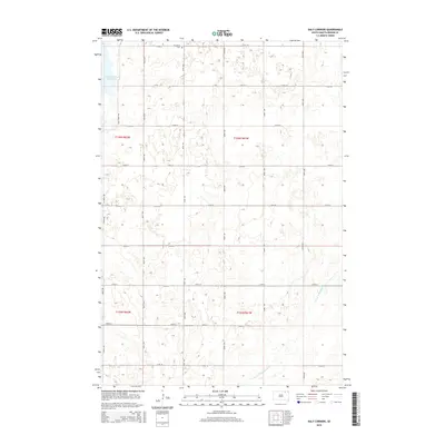
2015 Map of Daly Corners
USGS Topo · Published 2015About this map
Houghton and the eponymous Daly Corners anchor this 2015 survey of northeastern Brown County, where the landscape is defined by the rigid geometry of the Public Land Survey System. The map illustrates a region managed for both agriculture and conservation, featuring the Columbia Road Reservoir in the northwest corner and the managed flow of the Crow Cr Drainage Ditch further south. Local history is anchored at the Houghton Cem north of the primary settlement, while the modern infrastructure includes a designated Auto Tour Rte likely connected to the nearby waterfowl management areas. The section lines, marked by routes such as 400th Ave and 120th St, reveal the persistent grid that has organized this South Dakota prairie since the original homesteading era.
Find a feature on this map
25 named features on this map. Tap any name to fly to it.
Don’t see what you’re looking for? This feature index may not catch every label — zoom into the map to look around manually.
Map Details
Editions of this 2015 Daly Corners Map
This is the sole edition of this map. No revisions or reprints were ever made.
Other maps of this area

1894 · Hecla
USGS Topo · 1:62,500

1894 · Columbia
USGS Topo · 1:62,500

1894 · Savo
USGS Topo · 1:62,500

1896 · Columbia
USGS Topo · 1:125,000

1952 · Huffton
USGS Topo · 1:24,000

1952 · Columbia
USGS Topo · 1:24,000

1952 · Columbia NE
USGS Topo · 1:24,000

1952 · Putney
USGS Topo · 1:24,000

1953 · Hecla SE
USGS Topo · 1:24,000

1953 · Houghton
USGS Topo · 1:24,000