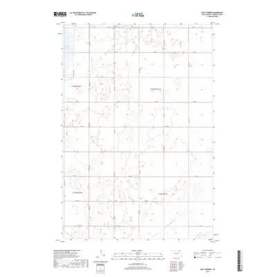
2017 Map of Daly Corners
USGS Topo · Published 2017About this map
Daly Corners stands as a focal point in this agricultural region of Brown County, where the landscape is defined by the section lines of the Public Land Survey System. The northern edge of the map features the Houghton Cem, providing a point of interest for those researching local family histories in Claremont Township. Water management is a central theme of the terrain, visible through the presence of the Columbia Road Reservoir and the Crow Cr Drainage Ditch, which underscore the region's reliance on structured drainage systems for prairie farming. For those traveling the area, the Auto Tour Rte suggests a recognized path through the wetlands and fields, offering a structured way to experience the open geography of the Dakota plains.
Find a feature on this map
9 named features on this map. Tap any name to fly to it.
Don’t see what you’re looking for? This feature index may not catch every label — zoom into the map to look around manually.
Map Details
Editions of this 2017 Daly Corners Map
This is the sole edition of this map. No revisions or reprints were ever made.
Other maps of this area

1894 · Hecla
USGS Topo · 1:62,500

1894 · Columbia
USGS Topo · 1:62,500

1894 · Savo
USGS Topo · 1:62,500

1896 · Columbia
USGS Topo · 1:125,000

1952 · Huffton
USGS Topo · 1:24,000

1952 · Columbia
USGS Topo · 1:24,000

1952 · Columbia NE
USGS Topo · 1:24,000

1952 · Putney
USGS Topo · 1:24,000

1953 · Hecla SE
USGS Topo · 1:24,000

1953 · Houghton
USGS Topo · 1:24,000