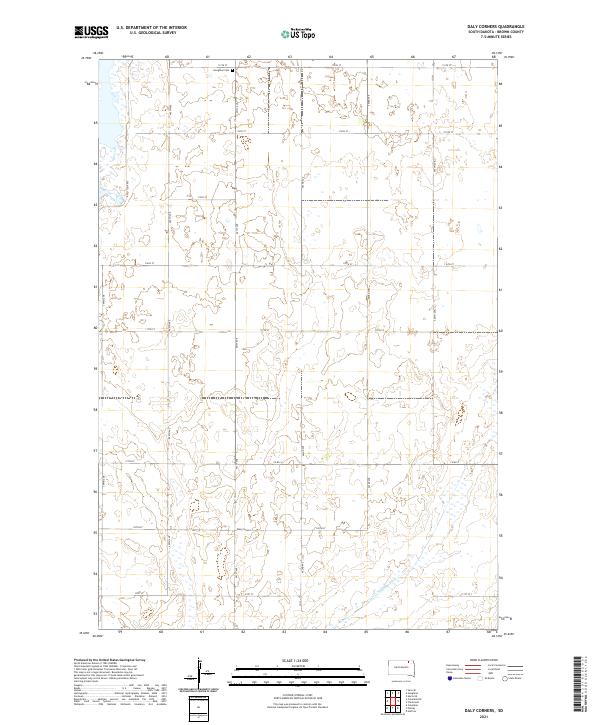
2021 Map of Daly Corners
USGS Topo · Published 2021About this map
Daly Corners centers this Brown County landscape, where the Jeffersonian grid of section lines creates a persistent framework for South Dakota's agricultural interior. The map illustrates a highly managed prairie environment, defined by a network of numbered roads like 113th St and 401st Ave that delineate township and range boundaries such as t126n r61w. Evidence of early community settlement persists at the Houghton Cem in the north, while the presence of the Auto Tour Rte suggests the area's modern role in managed nature observation. Human intervention in the hydrology is clearly marked by the Crow Cr Drainage Ditch, which cuts diagonally across the southeastern townships to manage the seasonal wetlands and prairie potholes that characterize this part of the James River Valley region.
Find a feature on this map
23 named features on this map. Tap any name to fly to it.
Don’t see what you’re looking for? This feature index may not catch every label — zoom into the map to look around manually.
Map Details
Editions of this 2021 Daly Corners Map
This is the sole edition of this map. No revisions or reprints were ever made.
Other maps of this area

1894 · Hecla
USGS Topo · 1:62,500

1894 · Columbia
USGS Topo · 1:62,500

1894 · Savo
USGS Topo · 1:62,500

1896 · Columbia
USGS Topo · 1:125,000

1952 · Huffton
USGS Topo · 1:24,000

1952 · Columbia
USGS Topo · 1:24,000

1952 · Columbia NE
USGS Topo · 1:24,000

1952 · Putney
USGS Topo · 1:24,000

1953 · Hecla SE
USGS Topo · 1:24,000

1953 · Houghton
USGS Topo · 1:24,000