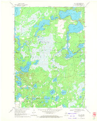
1970 Map of Dam Lake
USGS Topo · Published 1972About this map
American Legion State Forest covers much of this Northwoods landscape, characterized by an intricate network of glacial lakes and wetlands in the town of Sugar Camp. The presence of a commercial Cranberry Bog south of North Nokomis Lake and a Gravel Pit near Dam Lake point to the local resource economies that defined the region in the early 1970s. Water management is a central theme, evidenced by the expansive Rainbow Flowage and various dams that regulated the drainage through Sugar Camp Creek. Many water bodies carry family-related names such as Jenny Barnes Lake and Kate Pier Lake, offering valuable clues for genealogists researching early recreational and seasonal residents of Newbold. Numerous boat ramps along Muskellunge Lake and Sand Lake illustrate the transition toward a tourism-based economy during this era.
Find a feature on this map
40 named features on this map. Tap any name to fly to it.
Don’t see what you’re looking for? This feature index may not catch every label — zoom into the map to look around manually.
Map Details
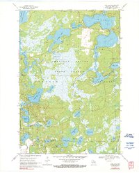
Editions of this 1970 Dam Lake Map
2 editions found
Other maps of this area

1930 · Robbins
USGS Topo · 1:48,000

1938 · Minocqua
USGS Topo · 1:48,000

1938 · Robbins
USGS Topo · 1:48,000

1939 · Cassian
USGS Topo · 1:48,000

1940 · Rhinelander
USGS Topo · 1:48,000

1942 · Cassian
USGS Topo · 1:48,000

1945 · Robbins
USGS Topo · 1:48,000

1946 · Minocqua
USGS Topo · 1:48,000

1949 · Rhinelander
USGS Topo · 1:48,000

1949 · Minocqua
USGS Topo · 1:48,000