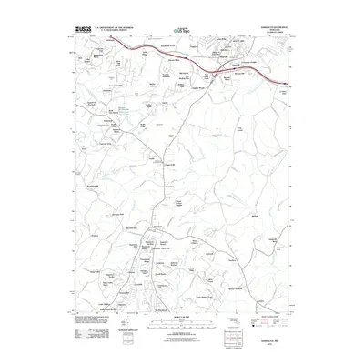
2011 Map of Damascus
USGS Topo · Published 2011About this map
Damascus serves as a central hub for agricultural and residential growth in this 2011 survey, where several Maryland counties converge near Four County Farm. The map details a landscape transitioning from orchards and farms, such as Rock Hill Orchard and Engleside Farm, toward a denser network of subdivisions and manor estates. Key local landmarks include the Damascus Post Office and the Mount Airy Post Office to the north, anchoring the primary service areas for the surrounding hamlets and residential developments.
Find a feature on this map
115 named features on this map. Tap any name to fly to it.
Don’t see what you’re looking for? This feature index may not catch every label — zoom into the map to look around manually.
Map Details
Editions of this 2011 Damascus Map
This is the sole edition of this map. No revisions or reprints were ever made.
Other maps of this area

1893 · Frederick
USGS Topo · 1:125,000

1894 · Frederick
USGS Topo · 1:125,000

1908 · Rockville
USGS Topo · 1:62,500

1908 · Seneca
USGS Topo · 1:62,500

1908 · Ijamsville
USGS Topo · 1:62,500

1909 · Mount Airy
USGS Topo · 1:62,500

1909 · Ijamsville
USGS Topo · 1:62,500

1923 · Rockville
USGS Topo · 1:62,500

1942 · Frederick
USGS Topo · 1:62,500

1944 · Walkersville
USGS Topo · 1:31,680