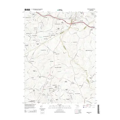
2014 Map of Damascus
USGS Topo · Published 2014About this map
Damascus serves as the central hub of this northern Montgomery County landscape, where modern suburban growth meets the rural heritage of Maryland's Piedmont. The survey details a complex network of ridgelines and watercourses, including the headwaters of the Patuxent River and Little Bennett Creek. Historical continuity is visible through numerous burial sites like Marvin Chapel Cemetery and Montgomery Chapel Cemetery, alongside established landmarks such as Annapolis Rock. Transport corridors like the Old National Pike and MD-144 define the northern boundary, linking the area to regional trade routes. The map records a dense pattern of residential subdivisions like Fox Ridge Estates and Duvall Manor, illustrating the transition of former agricultural land into a series of interconnected residential communities during the early 21st century.
Find a feature on this map
81 named features on this map. Tap any name to fly to it.
Don’t see what you’re looking for? This feature index may not catch every label — zoom into the map to look around manually.
Map Details
Editions of this 2014 Damascus Map
This is the sole edition of this map. No revisions or reprints were ever made.
Other maps of this area

1893 · Frederick
USGS Topo · 1:125,000

1894 · Frederick
USGS Topo · 1:125,000

1908 · Rockville
USGS Topo · 1:62,500

1908 · Seneca
USGS Topo · 1:62,500

1908 · Ijamsville
USGS Topo · 1:62,500

1909 · Mount Airy
USGS Topo · 1:62,500

1909 · Ijamsville
USGS Topo · 1:62,500

1923 · Rockville
USGS Topo · 1:62,500

1942 · Frederick
USGS Topo · 1:62,500

1944 · Walkersville
USGS Topo · 1:31,680