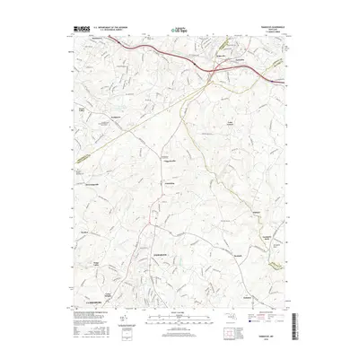
2016 Map of Damascus
USGS Topo · Published 2016About this map
Damascus serves as the central hub of this northern Montgomery County landscape, where the headwaters of the Patuxent River and the S. Br Patapsco River drain the rolling highlands. The map documents a dense network of early crossroads settlements, including Kemptown, Claggettsville, and Browningsville, many defined by their proximity to historic travel routes like the Old National Pike. Local heritage is deeply rooted in the numerous burial grounds and congregations such as Providence United Methodist Church Cem and Montgomery Chapel Cem. The topography is marked by several named watercourses including Little Bennett Cr and Fahrney Br, which shaped the placement of early homesteads. Near the Frederick County line, the presence of landmarks like Annapolis Rock provides a clear orientation for the terrain that transitions toward the Monocacy valley.
Find a feature on this map
66 named features on this map. Tap any name to fly to it.
Don’t see what you’re looking for? This feature index may not catch every label — zoom into the map to look around manually.
Map Details
Editions of this 2016 Damascus Map
This is the sole edition of this map. No revisions or reprints were ever made.
Other maps of this area

1893 · Frederick
USGS Topo · 1:125,000

1894 · Frederick
USGS Topo · 1:125,000

1908 · Rockville
USGS Topo · 1:62,500

1908 · Seneca
USGS Topo · 1:62,500

1908 · Ijamsville
USGS Topo · 1:62,500

1909 · Mount Airy
USGS Topo · 1:62,500

1909 · Ijamsville
USGS Topo · 1:62,500

1923 · Rockville
USGS Topo · 1:62,500

1942 · Frederick
USGS Topo · 1:62,500

1944 · Walkersville
USGS Topo · 1:31,680