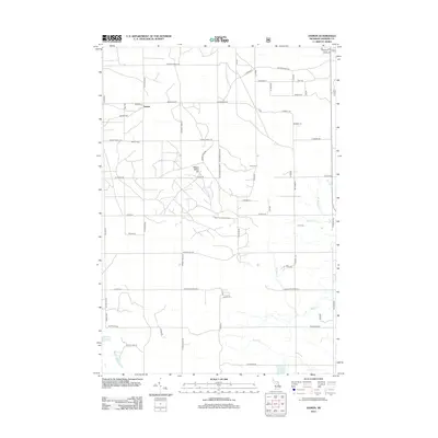
2012 Map of Damon
USGS Topo · Published 2012About this map
Damon and its surrounding countryside in Ogemaw County are defined by a network of rural trails and small water bodies. The settlement, situated along Monroe St, serves as a central point for a landscape dotted with historical markers, including the Damon Cem and the Rose City Lookout Tower. The terrain is shaped by several creeks such as Bixby Cr and Wilkins Cr, which drain into localized basins like Townline Lake and Wallin Lake.
Find a feature on this map
66 named features on this map. Tap any name to fly to it.
Don’t see what you’re looking for? This feature index may not catch every label — zoom into the map to look around manually.
Map Details
Editions of this 2012 Damon Map
This is the sole edition of this map. No revisions or reprints were ever made.
Other maps of this area

1954 · Traverse City
USGS Topo · 1:250,000

1958 · Traverse City
USGS Topo · 1:250,000

1963 · Luzerne
USGS Topo · 1:24,000

1965 · Damon
USGS Topo · 1:24,000

1965 · St. Helen NE
USGS Topo · 1:24,000

1965 · West Branch
USGS Topo · 1:24,000

1965 · Ogemaw Springs
USGS Topo · 1:24,000

1965 · Selkirk
USGS Topo · 1:24,000

1965 · Rose City
USGS Topo · 1:24,000

1972 · Mack Lake
USGS Topo · 1:24,000