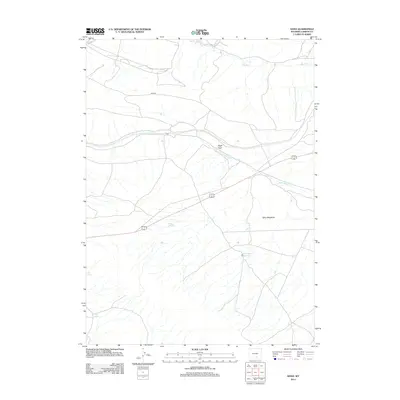
2012 Map of Dana
USGS Topo · Published 2012About this map
Dana sits at the center of this Carbon County landscape, where the high desert terrain is defined by a network of drainage and water management. The flow of Saint Marys Cr and the presence of the Big Ditch irrigation feature illustrate the critical role of water in this arid environment. To the east, Dana Meadows provides a distinct geographical contrast to the prominent landmark of Eagle Rock. The map further documents several essential water sources including Buck Spring, Iron Spring, and the Mud Springs Reservoir, which were vital for livestock and local use. Navigational details such as Arch Rd cut through the terrain, connecting these remote points of interest. This 2012 survey serves as a clear record of the area's physical geography and the persistent infrastructure required to support activity in the Wyoming basin.
Find a feature on this map
10 named features on this map. Tap any name to fly to it.
Don’t see what you’re looking for? This feature index may not catch every label — zoom into the map to look around manually.
Map Details
Editions of this 2012 Dana Map
This is the sole edition of this map. No revisions or reprints were ever made.
Other maps of this area

1893 · Fort Steele
USGS Topo · 1:125,000

1914 · Hanna
USGS Topo · 1:62,500

1914 · Walcott
USGS Topo · 1:62,500

1954 · Rawlins
USGS Topo · 1:250,000

1955 · Coal Bank Basin
USGS Topo · 1:24,000

1955 · Meads
USGS Topo · 1:24,000

1955 · Rattlesnake Pass
USGS Topo · 1:24,000

1958 · Rawlins
USGS Topo · 1:250,000

1962 · Rawlins
USGS Topo · 1:250,000

1967 · Rawlins
USGS Topo · 1:250,000