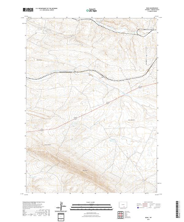
2021 Map of Dana
USGS Topo · Published 2021About this map
Dana sits at the heart of this high-desert landscape in Carbon County, where the topography is defined by the prominent Dana Ridge to the south and Edson Ridge to the northwest. The settlement lies along the winding course of Saint Marys Cr, a primary drainage for the area that passes the distinctive landmark of Eagle Rock. This region is characterized by a reliance on sparse water sources, evidenced by named features like Buck Spring, Iron Spring, and the Mud Springs Reservoir.
Find a feature on this map
17 named features on this map. Tap any name to fly to it.
Don’t see what you’re looking for? This feature index may not catch every label — zoom into the map to look around manually.
Map Details
Editions of this 2021 Dana Map
This is the sole edition of this map. No revisions or reprints were ever made.
Other maps of this area

1893 · Fort Steele
USGS Topo · 1:125,000

1914 · Hanna
USGS Topo · 1:62,500

1914 · Walcott
USGS Topo · 1:62,500

1954 · Rawlins
USGS Topo · 1:250,000

1955 · Coal Bank Basin
USGS Topo · 1:24,000

1955 · Meads
USGS Topo · 1:24,000

1955 · Rattlesnake Pass
USGS Topo · 1:24,000

1958 · Rawlins
USGS Topo · 1:250,000

1962 · Rawlins
USGS Topo · 1:250,000

1967 · Rawlins
USGS Topo · 1:250,000